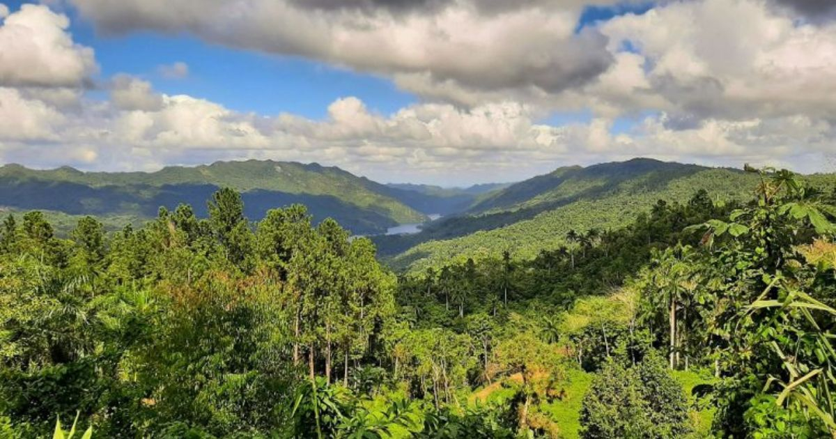
The Guamuhaya Massif, managed by the provinces of Villa Clara, Cienfuegos, and Sancti Spiritus, is being proposed by the Cuban government as the next national geopark due to its rich biodiversity, history, and tourism potential.
The Geominera del Centro Company is the entity responsible for preparing the file that will later be considered, reported the official newspaper Granma on Tuesday.
Doctor in Technical Sciences Enrique Castellanos Abella, Director of Geology at the Ministry of Energy and Mines (MINEM), pointed out that by early 2025, the geological-geomorphological study to evaluate Cuba's next Geopark should be concluded.
The Escambray, also known as, has metamorphic rocks, whose grains form a mosaic of minerals that are the result of contact or regional metamorphism, due to the increase in temperature in them.
According to Castellanos, in addition to the Topes de Collantes Protected Natural Landscape, the area is home to the Lomas de Banao Ecological Reserve, Lake Hanabanilla, El Nicho, and the national monuments Caballete de Casa and Caverna Martín.
It is worth noting as other significant information that Pico Tuerto, with its 919 meters above sea level, is the highest point of the relief in Villa Clara, which makes up the Hanabanilla Protected Natural Landscape.
On the other hand, the specialist reported that the Geominera Camagüey Company is reviewing the geological-geomorphological documentation of the Sierra de Cubitas, in the north of that province, with an area of 822 square kilometers, aiming to assess it as another new geopark.
Recently, the Sierra de la Gran Piedra, along with the Alturas de Santa María de Loreto and the Coastal Terraces of Mar Verde-Baconao, was approved as the second National Geopark of Cuba.
The resolution was published last April in the Official Gazette of the Republic, where they assure that this area, located in Santiago de Cuba, stands out for its agroforestry management programs, soil conservation, and water conservation.
In 2021, Valle de Viñales in the province of Pinar del Río was declared as Cuba's first Geopark due to its geological significance for the country.
The decision was made by the agreement of the Council of Ministers of Cuba, and it highlights that in this park, where the Viñales Valley is located, a National Monument and Cultural Landscape of Humanity, 57 geosites have been identified, including ten of international interest, 23 of national interest, 18 of regional interest, and six of local relevance.
The declaration of these sites is supported by Law Decree 11/2020 of the Geological Heritage of Cuba, which gave rise to the National Geoparks Committee, linked to the exchange of information, collaboration, and advice of the United Nations Educational, Scientific and Cultural Organization and its Global Network.