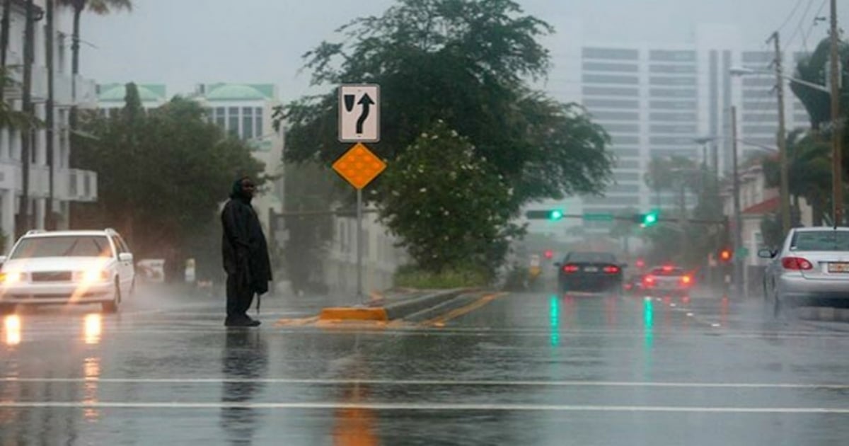
All of South Florida is now under a tropical storm warning until Thursday at 8 a.m. due to the increasing proximity of Hurricane Milton to Florida.
That alert means that gusts of wind with tropical storm force between 39 and 74 mph (10 and 119 km/h) could be felt in the mentioned area within a range of 48 hours.
The National Hurricane Center issued a tropical storm warning on Tuesday morning for the counties of Miami-Dade, Broward, and Palm Beach. However, the worst is expected on the west coast and central Florida.
In southern Florida this Tuesday, there is a risk of excessive rain and some isolated storms.
Meteorological sources reported on Monday that Hurricane Milton reached a minimum central pressure of about 897 millibars, making it the fifth most intense hurricane recorded in the history of hurricanes in the Atlantic.
Milton will continue moving through open waters of the Gulf of Mexico and is expected to reach the central-western part of Florida, in the Tampa area, between Wednesday night and Thursday morning.
It is expected to impact as a Category 3 hurricane with winds of 125 miles per hour.
Tropical storm-force winds, of approximately 56 miles per hour, may be felt in Palm Beach, Broward, and the northernmost part of Miami-Dade County this Thursday morning, when the center of Hurricane Milton makes landfall in west-central Florida.
What do you think?
COMMENTFiled under: