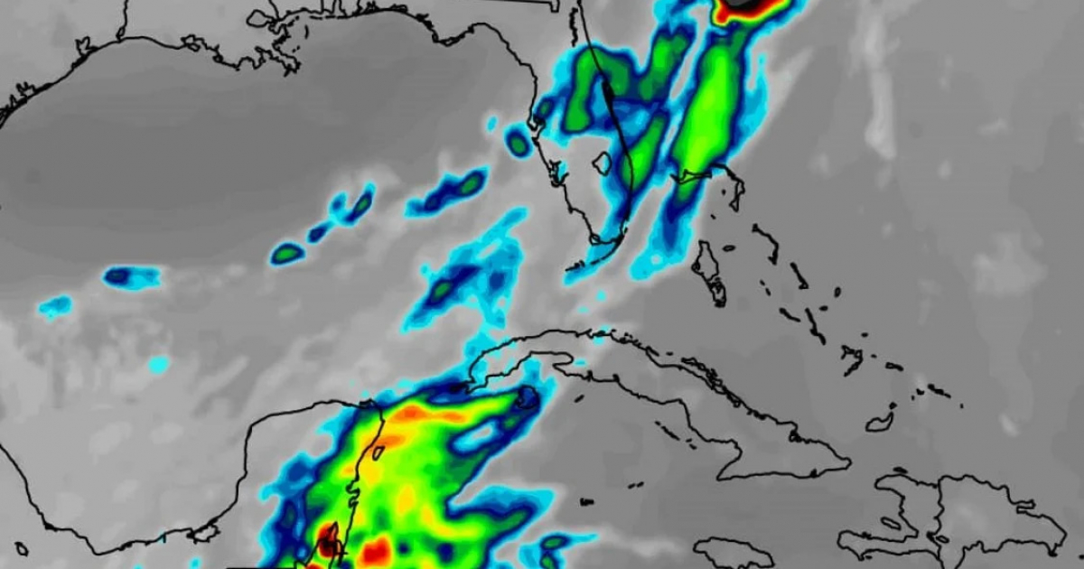
A new cold front will arrive in the western region of Cuba on Wednesday, and its effects will linger until the end of the week.
According to the announcement by meteorologist Raydel Ruisanchez on his Facebook page, an increase in cloud cover is expected, along with some showers and rain, as well as swells along the northern coast.
"Temperatures will drop starting Thursday, bringing winter-like days and cold mornings as the week comes to a close," he specified.
The Institute of Meteorology (INSMET), in its report on Monday at 11:00 am, explained that the influence of migratory high-pressure systems of continental origin continues to affect Cuba and its adjacent seas, with the center located very close to the Florida Peninsula.
As a result, a mass of dry air continues to linger over the entire Cuban archipelago, limiting the occurrence of rain across much of the territory.
However, the northeast winds generated by the anticyclonic system allow for the arrival of clouds from the sea to areas in the eastern region, which, when combined with local factors, have triggered isolated showers, particularly in areas along the northern coast.
On Sunday, temperatures were low, with minimums ranging from 16 to 19 degrees Celsius (°C) in the western region and between 20 and 23 °C in the rest, with lower values inland. The lowest temperature was recorded in Indio Hatuey, Matanzas, at 9.6 °C.
This afternoon and evening, there will be partial cloudiness in the central and eastern regions, with some showers and rain extending from the northern coast of Camagüey to Guantánamo.
The early hours of last Thursday were very cold in Cuba due to the influence of high pressure systems of continental origin, which kept a dry and stable air mass over much of the Island, limiting rainfall.
Minimum temperatures in the western interior and central regions ranged from 11 to 14 °C, while in the eastern region, they were between 16 and 19 °C. The Indio Hatuey station recorded the lowest temperature of the day at 8.3 °C.
The day before, there was also a significant drop in temperatures. The municipality of Güines, Mayabeque, reported a low of 8.9 °C.
Frequently Asked Questions about Cold Fronts in Cuba
When will the new cold front arrive in Cuba?
The new cold front is expected to arrive in the western region of Cuba on Wednesday, according to meteorologist Raydel Ruisanchez. Its effects are anticipated to last until the end of the week, bringing cloud cover, showers, and rain, along with a drop in temperatures.
What weather conditions are expected in Cuba with the arrival of the cold front?
With the arrival of the cold front, an increase in cloudiness, showers, and rainfall is expected, particularly along the northern coast. Additionally, there will be a drop in temperatures starting Thursday, leading to wintry days and cold mornings towards the end of the week.
How will the cold front affect temperatures in Cuba?
The cold front will cause a drop in temperatures, bringing cool days and chilly mornings. In some western regions, minimum temperatures are expected to fall below 20 degrees Celsius, with a further decline anticipated toward the end of the week.
Which regions of Cuba will be most affected by the cold front?
The western region of Cuba will be the most affected by the new cold front, particularly the areas along the northern coast. However, the system will gradually move toward the rest of the country, also impacting the central and eastern regions.
Filed under: