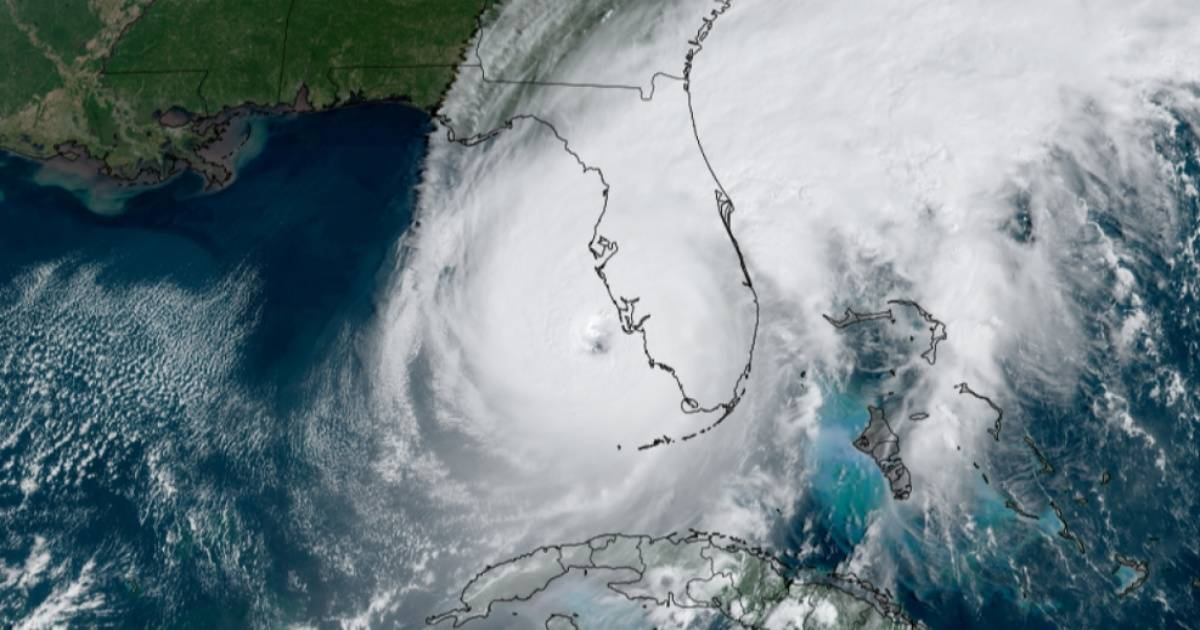
The United States Coast Guard (USCG) issued recommendations this Tuesday aimed at preparing the population for the upcoming hurricane season, which is estimated to be the most active in the last 30 years.
In a post on, that entity in southern Florida asked residents in the so-called Sunshine State, one of the most affected by cyclones, to be attentive to the forecasts of the National Meteorological Service, which will report its forecasts with each storm, including trajectories, amounts of rain, wind speed, among other parameters to take into account.
In this regard, USCG explains to the American population to trust official forecasts and the media associated with Weather Enterprise. Also, be careful with sensational headlines.
To do this, he recommends using the official forecasts of the National Hurricane Center, whose specialists "access various data (models, airplanes, satellites) to make the most accurate forecasts possible."
This year, Wireless Emergency Alerts will also be available via phone, so it is recommended to activate them to receive Alerts.
Lastly, the USCG lists different hazards and alerts that require different responses:
Hurricane Watch: means that hurricane conditions are possible somewhere within the watch zone, with tropical storm force winds beginning in the next 48 hours."
In this case, the entity explains that in this case the population must prepare by covering the windows and moving loose objects inside. Also make sure you have an emergency kit prepared.
Hurricane Warning: means that "hurricane conditions are expected somewhere within the warning area, with tropical storm force winds beginning in the next 36 hours." In this case the person must seek shelter in a resistant structure or evacuate if ordered.
Tropical Storm Warning: means that "tropical storm conditions are possible in the next 48 hours, and are expected somewhere within the warning area." USCG warns that a tropical system does not have to reach hurricane strength to be deadly.
Storm Warning: means the possibility of life-threatening flooding usually within 48 hours.
Storm Warning: means the danger of life-threatening flooding generally within 36 hours. In either case, please follow evacuation and other instructions from local officials.
Extreme Wind Warning: means that "extreme hurricane force winds (115 mph+) are imminent or occurring: immediately take shelter indoors in a well-constructed structure," the agency recommends.
Flash Flood Warning: "means that dangerous flash flooding is expected: move to higher ground and never walk or drive through flood water."
Flash Flood Emergency: "is issued for extremely rare situations where a serious threat to human life and catastrophic damage exists or is about to occur."
Flood alert: means flooding is possible – stay tuned to reliable news sources and be prepared to seek higher ground.
Flood Warning: means that flooding is occurring or is about to occur: move to higher ground immediately.
Tornado Watch: means a tornado is possible - know your safe location and be prepared to act quickly if a warning is issued.
Tornado Warning: means that a tornado is occurring or is about to occur: take shelter in a safe place immediately!
Finally, the entity asks Floridians to focus on the possible effects of any weather event, regardless of the category of the storm; given that "all hurricanes and tropical storms can cause storm surges, flooding, and damaging winds that can be life-threatening."
"Stay alert even if winds have weakened and the storm becomes a tropical or lower storm: precipitation and storm surge effects typically continue," the publication states.
The National Oceanic and Atmospheric Administration (NOAA) said in this regard that it is very important to understand the forecasts and impacts of hurricanes, whose deadly dangers can be latent even outside the cone.
These recommendations come after meteorological experts at Colorado State University predicted a “extremely active” Atlantic hurricane season starting June 1 from 2024 and until November 30, with the highest figures in the last 30 years.
According to data provided by the pioneer group in seasonal hurricane prediction, a total of 23 named storms are forecast, of which 11 could become hurricanes, and five of these could reach categories 3, 4 or even 5, with higher winds at 111 mph (miles per hour).
On Monday, specialists from the Climate Center and the Forecast Center of the Cuban Institute of Meteorology also predicted that the 2024 cyclone season will be very active throughout the North Atlantic basin, which also includes the Gulf of Mexico and the Caribbean Sea.
It is predicted the formation of 20 tropical cyclones throughout the North Atlantic basin, of which 11 could reach hurricane status, they stated.
What do you think?
COMMENTFiled in: