
Helene has weakened to a tropical storm hours after making landfall along the northwest coast of Florida as a Category 4 hurricane on Thursday night.
During this morning, it moved to the north-northeast and then turned its course toward the north, increasing its translational speed to 48 km per hour. Its interaction with land weakened it and caused it to degrade to a tropical storm.
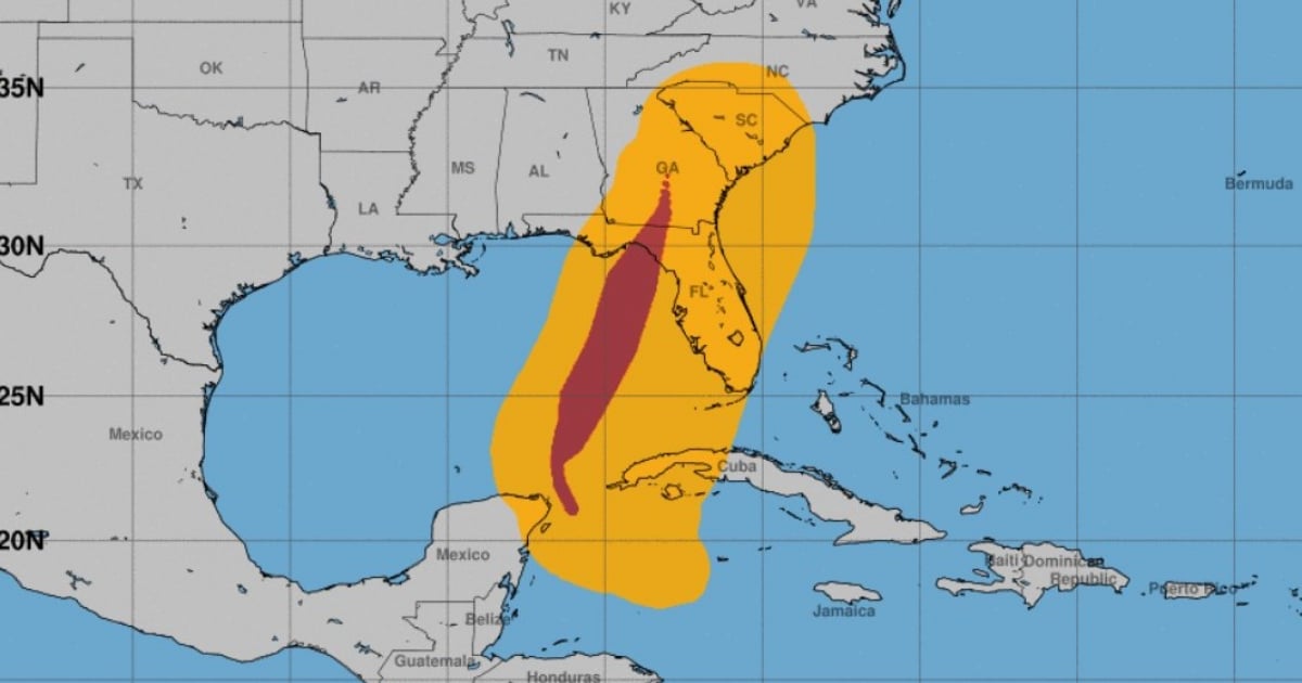
According to the National Hurricane Center (NHC), at 8:00 AM, the center of the storm was located near latitude 34.2 North, longitude 83.0 West, about 165 kilometers from Atlanta, Georgia, where hurricane-force winds and heavy rains are still present.
It is expected to turn northwest and slow down over the Tennessee valley this afternoon.
The NHC warns that the storm surge along parts of the Big Bend coast of Florida and other areas of the west coast of Florida should decrease today. However, damaging wind gusts will continue to move inland into parts of Georgia and the Carolinas.
The maximum sustained winds of Helene have decreased to about 60 mph (95 km/h), with stronger gusts. It will continue to weaken and become a tropical depression.
Helene made landfall on Thursday night in the Big Bend region of Florida, where it struck with maximum sustained winds of 225 km per hour, storm surges described as "catastrophic," and heavy rains that caused sea penetrations and flooding.
At least one person died when a traffic sign fell on their vehicle while traveling on Interstate 4, in the city of Tampa, according to the Florida Highway Patrol (FHP).
What do you think?
COMMENTFiled under: