The proximity of Hurricane Helene, which could make landfall in Florida as a category three or four this Thursday, has caused rain and flooding in the southern part of the state, especially in the Gulf counties and Miami-Dade.
The fast-moving Category 2 storm in the Gulf of Mexico began to affect southern Florida on Thursday with heavy rains and winds, Local 10 reported.
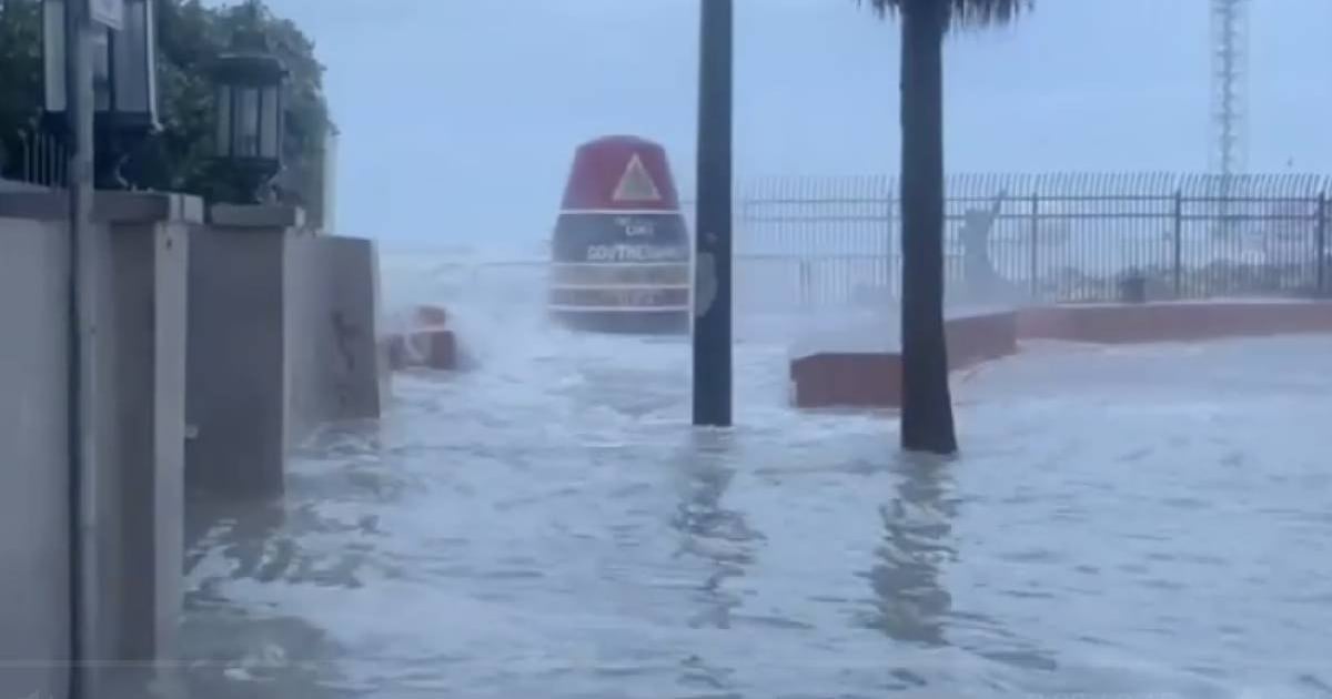
The rain bands of the wide cyclone impacted the Keys, where waves hit the iconic 90-Mile Buoy in Key West.
The wind shook the lush royal poincianas and the resilient Seagrape shrubs, while dry leaves and debris quickly blocked some drains, causing minor flooding on the streets.
Volunteer residents organized to clean the drains and prevent the flooding from worsening.
In light of the risk, the schools in Monroe County and the school district offices were closed this Thursday.
The rains, although intense, have not caused significant damage in Key West, although the streets were affected by flooding.
Strong winds and heavy rains are also reported in Miami.
In Cuba, Helene had already caused evacuations in flood-prone areas in the provinces of Pinar del Río and Artemisa before heading north.
Florida Governor Ron DeSantis declared a state of emergency statewide as the hurricane continues its path towards the coast.
The cyclone is expected to make landfall on Thursday night in the Big Bend area as a powerful Category 4 hurricane, raising concern in the coastal areas of Florida facing the Gulf of Mexico.
Local authorities have urged residents to take precautions and follow evacuation orders in vulnerable areas.
What do you think?
COMMENTFiled under: