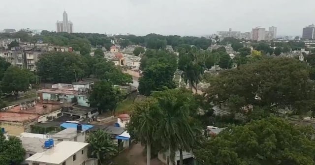
Cuban Television broadcast updated information on the progress of the dangerous Hurricane Rafael, which has reached Category 3 on the Saffir-Simpson scale and is about to make landfall on the western coast of Cuba.
The midday broadcast of the national news aired a report on the evolution and path of the hurricane, featuring the renowned Cuban meteorologist José Rubiera, who warned about the main dangers posed by the hurricane.
"There will be heavy, intense rains, and the hurricane is moving northwest towards Pinar del Río," said Dr. Rubiera during a connection with the news, just before the hurricane reached Category 3.
Rubiera, who is already retired, is consulted by specialists from the Institute of Meteorology (INSMET) and by the country’s official media during climate emergencies. He indicated that the trajectory of Rafael is leaning more toward the west than previously expected and will cross the eastern part of the province of Pinar del Río, according to the latest trajectory models.
It warned about the occurrence of hurricane-force winds, heavy seas, coastal flooding, and sea level rise—known as surge—resulting in storm surges.
Rubiera recalled that a hurricane "is not a point, but a large area." Therefore, he explained, the rains from the weather phenomenon "can reach central Cuba and beyond with the spiral bands," and the storm surges also cover a vast area.
According to the prominent Cuban meteorologist, Rafael may undergo further changes in its trajectory before making landfall, which he predicted could occur between four and five in the afternoon this Wednesday, along the southern coast of eastern Pinar del Río.
The meteorologist Elier Pila specified that Rafael intensified to become a category 3 hurricane, with maximum sustained winds of 185 km/h, as it approaches Cuba.
"We are facing a very dangerous weather event, extremely dangerous for the western part of the country," he warned. Its center is expected to make landfall in Cuba at a point between the provinces of Artemisa and Pinar del Río.
At 1 PM, Rafael's center was located 55 kilometers east-northeast of the city of Nueva Gerona, on the Isle of Youth, and about 75 kilometers south-southeast of Cajío Beach, in the south of Artemisa. The hurricane is moving northwest at a speed of 22 kilometers per hour.
Tropical storm-force winds exceeding 95 km/h will affect nearly the entire area from the western tip of Pinar del Río to Matanzas, with gusts reaching Cienfuegos. In Havana, winds may range between 90 and 119 km/h.
However, wherever this system crosses, the winds will reach hurricane strength, between 135 and 150 km/h, and may even be a bit more intense with higher gusts.
Pila explained that the areas of heavy rainfall from the hurricane will cover the western region of the country, even as the tropical system moves away from the national territory starting tonight. He noted that precipitation will remain in the west and, to a lesser extent, in some central parts of the country, and significant accumulations may occur over a short period of time, along with thunderstorms.
The sea level along the southern coast of Pinar del Río, Artemisa, and Mayabeque is expected to rise significantly. However, Pila forecasted that the sea could exceed heights of five, six, and even seven meters south of the Isle of Youth and the Canarreos Archipelago. Wave heights may also surpass five meters in Matanzas and Cienfuegos, potentially reaching as far as Sancti Spíritus, leading to moderate to severe coastal flooding in that part of the country.
On the north coast of Pinar del Río and Artemisa, once the hurricane moves away from Cuba, wave heights may reach over five or six meters, and in some areas, they could cause flooding. Along the rest of the north coast, including the coastline of Havana, there will be swells and some minor water accumulation, due to the wind direction.
Pila also warned about the sea level rise or upwelling caused by tropical cyclones, especially intense hurricanes, due to the combined effect of winds and pressure.
What do you think?
COMMENTFiled under:
