Hurricane Beryl, now a category 3 after weakening in the last few hours, has started to deteriorate the weather conditions in the Cayman Islands with strong winds and dangerous storm surges, according to the latest bulletin issued by the National Hurricane Center (NHC) of the USA.
At 5:00 a.m (Miami time), the phenomenon was located about 90 km south-southeast of Grand Cayman and 705 km east-southeast of Tulum, Mexico, with maximum sustained winds of 195 km/h.
At dawn on Thursday, the first images of winds, rain, and some floods on the islands have already been seen.
The center of Hurricane Beryl is moving west-northwest at about 31 km/h and is expected to continue that movement, passing just south of the Cayman Islands during the course of today and over the Yucatan Peninsula on Friday morning.
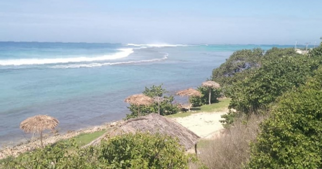
On social media, some images attest to the progressive deterioration of time in the Cayman Islands.
Later Beryl will emerge over the southwest Gulf of Mexico on Friday night and turn northwest.
The NHC warns that the large swells generated by Beryl will impact in the coming hours the coasts of Jamaica, Cuba, the Cayman Islands, the Yucatán Peninsula, and other parts of Central America and the Gulf of Mexico, creating potentially deadly rip currents.
The approach of Beryl to the coasts of Quintana Roo, in the Mexican Caribbean, has emergency services and the general population on high alert as prevention programs are put in place, since the hurricane is heading straight towards a highly touristy area.
According to Bernardo Cueto, Secretary of Tourism in Quintana Roo, there are 355,786 tourists throughout the entire state at the moment, mainly between Cancun and the Riviera Maya, representing a 68.5% hotel occupancy.
Citizens are also preparing for the hurricane by stockpiling food and getting boards to protect their facades.
What do you think?
COMMENTFiled under:
