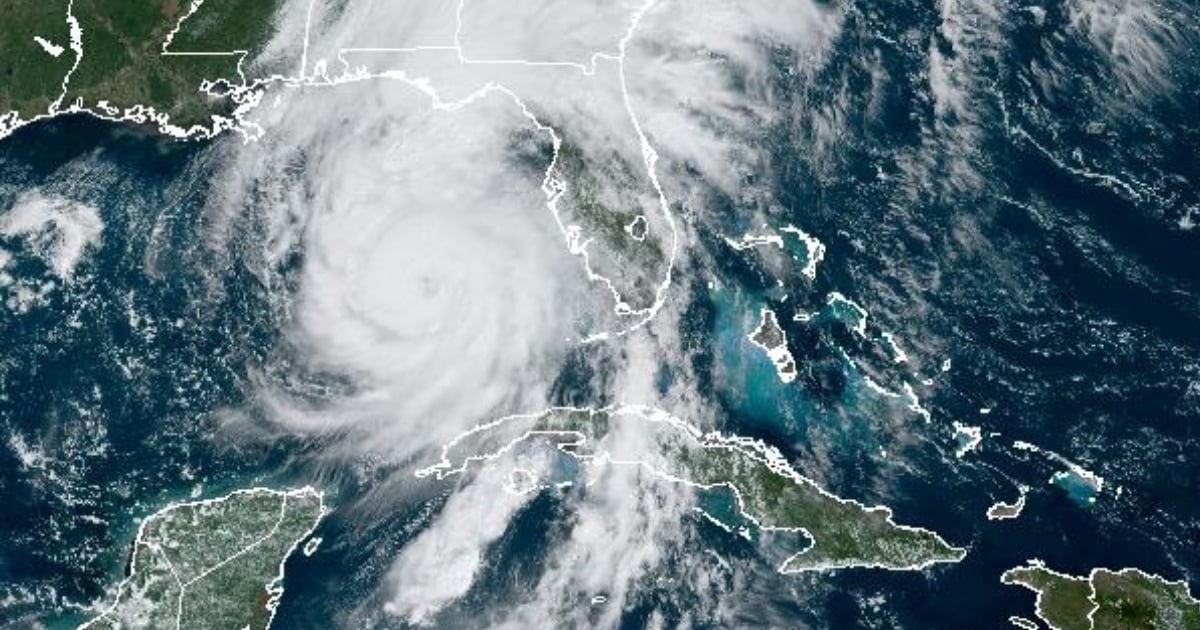
Hurricane Helene, which reached category 2 on the Saffir-Simpson scale on the morning of this Thursday, is approaching the coasts of Florida as a dangerous cyclonic system.
Helene, which hit the Yucatán Peninsula in Mexico and the western part of Cuba on Wednesday, is heading toward Florida with a strong possibility of arriving as a devastating storm.
According to the National Oceanic and Atmospheric Administration (NOAA), catastrophic storm surges are likely along the Big Bend coast, where flooding could reach up to 20 feet (6.1 meters) above ground level.
They also added that hurricane-force winds are expected when it makes landfall in the Big Bend region, scheduled for Thursday night.
"The hurricane-force winds, potentially deadly especially in gusts, will penetrate inland in parts of northern Florida and southern Georgia," they stated in their announcement.
At 11:00 a.m. Eastern Time, Helene was located about 255 miles southwest of Tampa, with maximum sustained winds of 105 mph, undergoing rapid intensification.
The National Hurricane Center of the United States (NHC) forecasts that Helene could intensify to a category 4 hurricane before making landfall in the United States, which is why Florida has already begun evacuating people living in areas vulnerable to the impact, as well as closing schools and declaring a state of emergency in several counties.
Since Wednesday night, tropical storm conditions are being felt in Florida, said the Univisión network.
As of Thursday morning, flooding was reported in areas of Naples, Treasure Island, Tampa, and St. Petersburg.
What do you think?
COMMENTFiled under: