
Related videos:
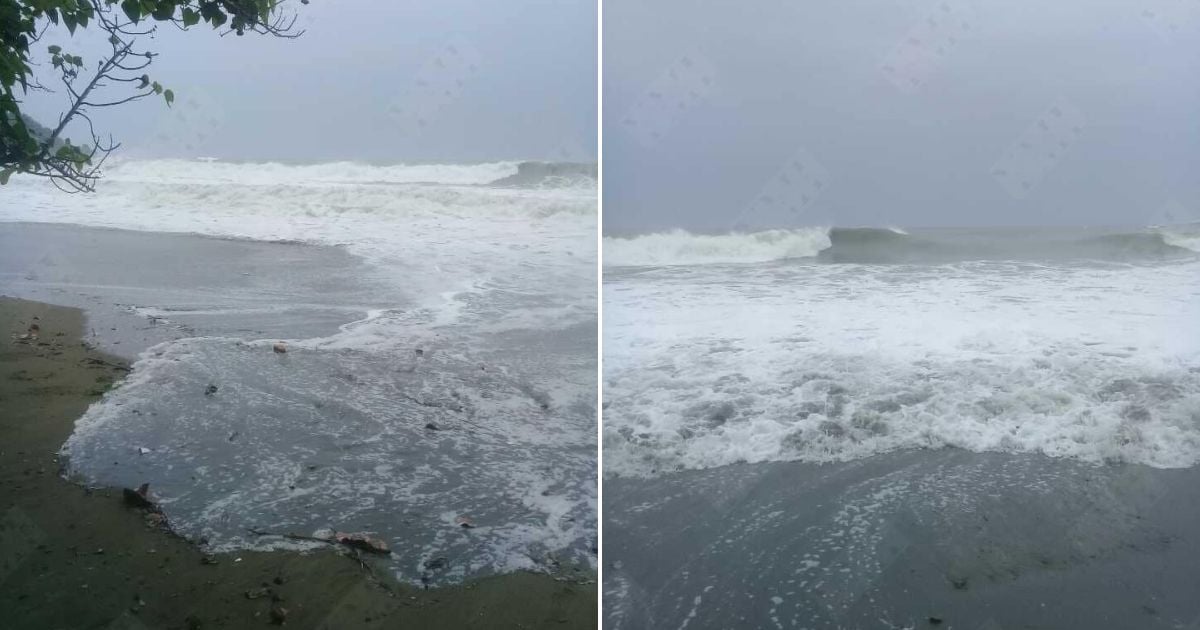
The Cuban Institute of Meteorology warned this Sunday about the imminent strong swells in the southern seas of Granma, Santiago de Cuba, and Guantánamo, caused by the proximity of the powerful hurricane Melissa, which has reached category 4 on the Saffir-Simpson scale.
According to the latest tropical cyclone advisory No. 12, issued by the Forecast Center, the weather phenomenon underwent a rapid intensification process in the past hours, with sustained winds of 220 kilometers per hour and a central pressure of 944 hectoPascals.
The system is located south of Jamaica, about 415 kilometers south of Santiago de Cuba, moving slowly west at seven kilometers per hour.
The Cuban authorities warned that starting this Sunday, strong waves will begin along the southeastern coastline, particularly in the provinces of Granma, Santiago de Cuba, and Guantánamo.
The meteorological agency urged to take extra precautions in coastal areas and avoid maritime activities due to the risk of dangerous waves.
Forecast models indicate that Hurricane Melissa could intensify to become a powerful Category 5 cyclone, with catastrophic consequences for the eastern region of Cuba.
Although its center will remain over Caribbean waters, the outer bands of the system will cause rain, strong winds, and a progressive increase in wave height.
The Forecast Center of the Institute of Meteorology reported that close monitoring of the hurricane's evolution and future trajectory is ongoing, and the next official update will be issued at six o'clock this Sunday evening.
Local authorities have urged the population to stay informed and follow the guidance of Civil Defense, especially in the coastal municipalities most vulnerable to seawater intrusion.
Filed under: