
Related videos:
The Colorado State University (CSU) has once again revised its forecasts for the 2026 Atlantic hurricane season: only nine named storms, four hurricanes, and just one major hurricane (category 3 or higher), numbers that are well below the historical average.
The update, published on Wednesday, July 8, represents the third consecutive reduction of the year: in April, CSU projected 13 storms, in June it was lowered to 11, and now it is set at nine.
The climatological average for the period from 1991 to 2020 is 14.4 named storms, 7.2 hurricanes, and 3.2 major hurricanes.
El Niño, the big brake of the season
The main factor contributing to this calmer situation is the towards a strong or very strong phase, which is expected to peak between August and October, precisely during the historically busiest period for cyclonic activity.
El Niño warms the waters of the equatorial Pacific and intensifies the westerly winds, which increases vertical wind shear over the tropical Atlantic and hinders the organization and intensification of storms.
NOAA officially declared the phenomenon on June 11, 2026, with a 63% probability of it reaching very strong intensity between November 2026 and January 2027.
CSU estimates that the cyclonic activity in 2026 will be between 40% and 45% of the 1991-2020 average, compared to the 105% observed in 2025.
Historically low impact probabilities
The probability of a major hurricane making landfall on the continental United States coast has fallen to 17%, compared to the historical average of 43%. For the Gulf Coast, the figure decreased to 10%, compared to the historical average of 27%.
Regarding the Caribbean, CSU estimates only a 19% chance of being struck by a major hurricane, compared to the annual average of 47%.
NOAA had projected in May between eight and 14 named storms and between three and six hurricanes, with a 55% probability of a season below normal. The CSU forecast is at the lower end of that range.
Cuba: Fewer cyclones, but a more dangerous winter
For Cuba, the cyclonic outlook also appears more tranquil, although the Institute of Meteorology (INSMET) estimated in May a 40% chance that at least one hurricane will affect the island and a 75% probability of being impacted by a tropical storm.
The paradox of El Niño is remarkable: while it reduces cyclonic activity in the Atlantic, it intensifies winter in Cuba and the Caribbean. The Cuban meteorologist Yosmelvi Páez Cornell warned that the winter of 2026-2027 will be anything but a calm season.
"While we will have one of the calmest hurricane seasons in decades due to the effects of a very strong El Niño, the winter season will be quite the opposite," remarked Páez Cornell.
The specialist also warned that the prefrontal lines "can produce heavy rains, intense winds, and even tornadoes, especially in the western and central regions of Cuba."
That scenario has precedents: during the winter of the 2009-2010 El Niño, Cuba recorded seven cold fronts in February 2010, more than double the historical average of 3.34 for that month.
A more detailed analysis of that risk was published in a report on the winter of rains that Cuba may face.
One single hurricane can change everything
Despite the favorable forecast, experts insist that reduced activity does not equate to an absence of danger.
The 2025 season illustrates this: 13 named storms formed along with three category 5 hurricanes, the second highest number in history, although none made landfall in the United States for the first time in a decade.
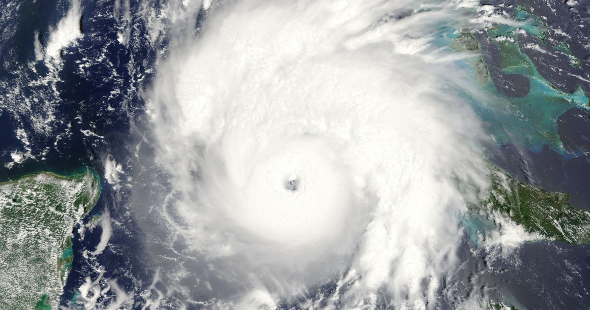
Hurricane Melissa struck Jamaica as a category 5 with winds of up to 295 km/h, causing nearly 12 billion dollars in damages, and then made landfall in eastern Cuba as a category 3, damaging more than 116,000 homes and affecting over 3.5 million people.
“It only takes a hurricane to hit a community to turn a calm season into a devastating one,” warned specialists from CSU.
The next update of the forecast is scheduled for August 5, 2026.
Filed under: