Related videos:
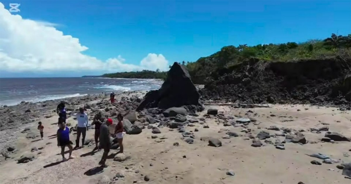
A mud volcano emerged off the southern coast of Trinidad and Tobago as a direct consequence of the devastating earthquakes that shook northern Venezuela on June 24, 2026, as confirmed this Sunday by geoscientist Xavier Moonan in an exclusive report for the agency EFE.
The geological phenomenon is located approximately 2.5 kilometers east of Beach Camp in Palo Seco, and 3.3 kilometers east of the Anglais Point Mud Volcano, an area of the island with a long history of underwater volcanic activity.
The structure rises about four meters above the seabed and is primarily composed of soft clay extruded from beneath the ocean floor, with embedded rock fragments and large calcite-rich stones that in certain areas resemble coral.
Moonan was categorical in pointing out the origin of the phenomenon: "Therefore, it is very likely that this mud extrusion was caused by the recent earthquakes in Venezuela."
However, the islet is already facing an immediate threat: wave erosion is progressing at an accelerated pace. “According to the initial images, approximately one-third of the island has already been swept away by the waves,” warned the geoscientist.
Neil Sookram, from Southwest Adventures and allegedly the first person to spot the formation, noted that the erosion has been ongoing for the past two days, although he specified that the top remains intact and that the clay has started to harden.
The Seismic Research Center of the University of the West Indies, the Marine Affairs Institute, and the consulting firm ResiLog Limited are analyzing samples of the sludge collected at the site to determine the age and origin of the material.
Moonan also clarified that this mud volcano represents a geological process distinct from that recorded at Galfa Point, where the same earthquakes caused a coastal uplift of six meters, pushing part of the seabed above sea level. “The beach and nearby cliffs show no signs of damage, uplift, or any type of movement. Therefore, this event, although triggered by the same earthquakes, is not a landslide phenomenon like Galfa or Los Iros,” he explained.
In Los Iros, around 50 acres of agricultural land were damaged, ponds drained due to cracks in the ground, and roads and coastal infrastructure suffered significant damage.
The earthquakes on June 24 —considered the strongest in Venezuela in over 125 years, with magnitudes of 7.2 and 7.5 just 39 seconds apart— have caused a humanitarian catastrophe of enormous proportions. The chavista regime raised the official death toll to 4,333 people, with 16,740 injured and 6,462 rescued alive.
NASA estimates that around 58,870 buildings were damaged or destroyed, while the United Nations Development Program calculates direct damages at 6.7 billion dollars, equivalent to 6% of Venezuela's GDP, with a potential total impact of up to 20.1 billion.
Venezuela estimates that it will need 25,000 homes to assist those affected and expects to deliver the first 200 houses in the coming days, according to the statement made by the president of the National Assembly, Jorge Rodríguez.
Filed under: