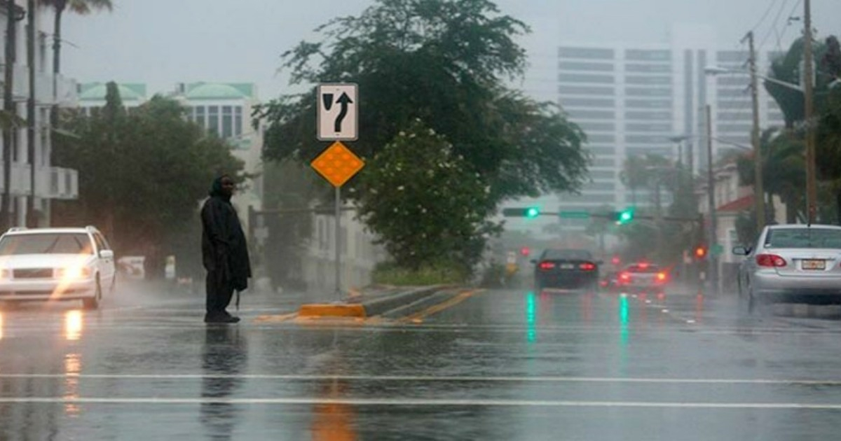
Florida is preparing for a week marked by heavy rainfall, with an estimated volume of 4.6 trillion gallons of water in the next seven days, particularly concentrated in the northwest and the northern half of the state.
The meteorologist shared a projection this Saturday that illustrates the episode in a particularly graphic way: that amount of rain would be equivalent to filling approximately seven million Olympic-sized swimming pools.
"4.6 trillion gallons of rain are expected in Florida over the next seven days, particularly in the northwest and the northern half of the state," noted Devitt.
According to the meteorologist, the hardest-hit areas could accumulate six inches or more, while the amounts of rain would decrease towards the south of the peninsula.
Devitt also noted that the rainfall could alleviate the drought that still affects a significant part of Florida, although he warned about the danger of too much water falling in a short period.
All this rain will help reduce the 52% of Florida that is still experiencing drought, but we don't want it to fall all at once and cause flooding," he explained.
Official data supports that concern. Florida continues to experience a significant drought and 52.4% of the state is currently under some category of drought, according to the latest data from the U.S. Drought Monitor, as of September 29 and published on October 1.
On the other hand, the National Weather Service in Tallahassee has issued a flood watch for areas in the western northwest Florida until Monday morning.
The alert includes areas of Walton, Holmes, Washington, Bay, and Gulf counties, where widespread accumulations of three to six inches are expected, with locally amounts of up to eight or ten inches.
In other areas, between two and five inches of rain are generally expected, although some locations may record higher totals.
The Florida Public Radio Emergency Network explained that a nearly stationary atmospheric front is interacting with a tropical air mass filled with moisture, promoting several rounds of heavy rain and thunderstorms.
The main concern is that large amounts of rain fall in relatively short periods and exceed the absorption capacity of the ground, drainage systems, and waterways, leading to flash floods.
The United States Weather Prediction Center placed parts of the Gulf Coast and northwest Florida under a light risk, level 2 of 4, for excessive rainfall.
During the early hours of Sunday, the agency also warned that some storms could bring rainfall of between two and three inches per hour, with locally higher accumulations.
In addition to the risk of flooding, meteorological authorities are issuing warnings for dangerous rip currents at beaches in the northwest of Florida. Strong winds coming from the sea could also lead to minor coastal flooding during high tides.
The situation contrasts sharply with the extreme lack of rainfall recorded months ago. In April, southern Florida was experiencing one of its worst droughts in decades, with rainfall deficits particularly impacting Miami-Dade, Broward, and Palm Beach.
But during the rainy season, the scenario can also change rapidly in the opposite direction. At the end of August, authorities issued flood warnings in South Florida due to episodes of heavy rain and water accumulation in urban areas.
Related videos:
Filed under: