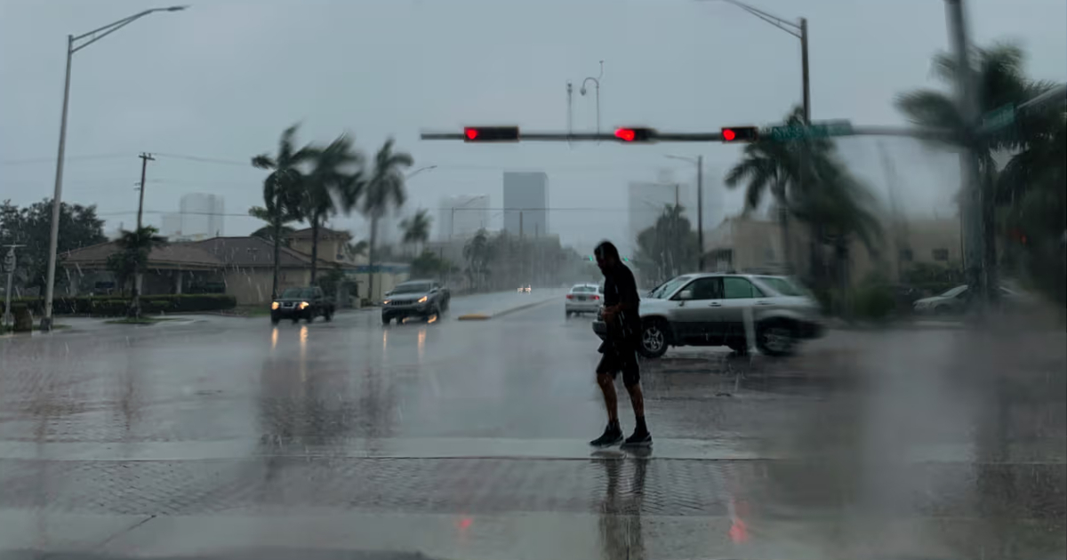
Weather alerts for South Florida escalated on Sunday morning: the National Weather Service (NWS) issued a winter storm warning that goes into effect this evening and extends through Tuesday, and upgraded the coastal flooding category for Monday and Tuesday to a major coastal flooding advisory, the most severe of the three possible levels, according to the updated forecast by meteorologist Jackson Dill of WSVN.
This update represents a direct escalation from the forecast published on Saturday, when the alerts for those days were of a lower category. The episode combines three simultaneous factors: strong winds, the annual peak of the king tides, and the full moon tonight, which enhances the astronomical tides.
What happens this Sunday
A moderate coastal flood advisory remains in effect today along the eastern coast of Miami-Dade and Broward, due to expected flooding during high tide. The probability of rain is 70%, with scattered showers in the morning and rounds of heavy rain and storms in the afternoon and evening. “Given the strong gusts of wind coming from land and the actual tides, sudden flooding cannot be ruled out in areas where heavy rain falls,” Dill warned.
From tonight, the gale warning replaces the small craft advisory on the east coast and will remain in effect until Tuesday morning. The expected gusts are 35-40 mph, with sustained winds of 15-25 mph. Small craft should not venture out.
On Monday: less rain, but a higher risk of flooding
Monday is expected to be drier — the drop in medium and high levels has moved somewhat away from Florida — but it will be the day of greatest coastal danger as it coincides with the peak of the tidal cycles. "The result: fewer showers and a bit more sun," explained Dill, although the major coastal flood warning will be fully in effect.
The high tides on Monday in Miami-Dade are expected to occur around 9:45 a.m. and 9:45 p.m. Water levels could exceed normal by approximately 2.5 feet during the most unfavorable cycles. The most vulnerable areas include Miami Beach, Brickell, Downtown Miami, and the Upper Keys, especially the areas east of I-95.
On Tuesday: the rain returns and the risk remains
On Tuesday, rain returns with scattered to numerous showers, maintaining a high risk of flooding. High tides in Miami-Dade are expected around 10:30 a.m. and 10:30 p.m., marking the period of highest astronomical risk for the Atlantic coast. A major coastal flood advisory has been in effect for the Upper Keys since today; the Middle and Lower Keys are under a moderate flood advisory.
Practical recommendations
Authorities insist on not driving through flooded streets: salty water can irreparably damage the electrical and mechanical systems of vehicles, and insurance often does not cover such damages if the driver voluntarily drove into the water. It is recommended to park on higher ground before high tide and not to bypass barricades. The risk of rip currents is high and potentially deadly until Tuesday night.
This episode is not a tropical storm: there are no developing tropical systems in the Atlantic. It is the confluence of a rainy atmospheric pattern with the annual peak of astronomical tides, a combination that the NWS deems sufficient to generate significant flooding conditions across the region.
"The water levels will gradually decrease over the course of the week following the peak of the full moon tonight," Dill noted, which means that the greatest danger is concentrated in the next 48 hours.
Related videos:
Filed under: