The 2026 Atlantic hurricane season will go down in history as one of the calmest in over a century: only 10 named storms and a single hurricane, the lowest number since 1925. The main contributor was the El Niño phenomenon, which reached a "super" strong intensity this year, possibly the most intense ever recorded, according to a CNN en Español analysis.
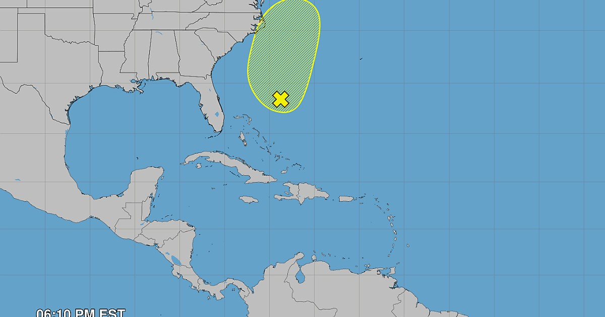
The official season ends on November 30, and the National Hurricane Center ruled out any significant cyclonic development on Friday the 20th off the east coast of the United States, although it warned that wind, rain, and coastal flooding impacts continue for the weekend.
El Niño: the invisible shield over the Atlantic
El Niño is a natural climate cycle in which warmer-than-normal waters along the equator in the Pacific Ocean create a domino effect on global weather patterns. In the Atlantic, its direct consequence is the increase in vertical wind shear, which dissipates storms before they can become organized.
"It was an extremely powerful El Niño doing what very powerful El Niño phenomena do," explained Phil Klotzbach, a hurricane expert at Colorado State University, in statements to CNN.
The Atlantic Ocean had more than enough fuel to sustain cyclones—with sea surface temperatures reaching record levels for November—but El Niño served as an effective counterbalance. Six out of the ten named storms lasted 48 hours or less, and the Accumulated Cyclone Energy (ACE) barely reached 19.9 units, which is 83% below the historical average from 1991 to 2020. In September, the Atlantic did not have a single hurricane moving through the basin, something that hadn't occurred since 1994, as was anticipated since the middle of the season.
Isaias: the only late and deadly hurricane
The only system that managed to overcome the El Niño barrier was Hurricane Isaias, which reached that category on October 8, the latest date recorded for the first hurricane of an Atlantic season.
Isaias made landfall as a category 2 hurricane in northwest Florida on October 9, leaving at least four dead and more than 800,000 customers without electricity in Florida, Alabama, and Georgia. Rainfall reached 12 inches (30.5 cm) in Walton County, and the storm surge exceeded five feet above the average high tide in Panama City Beach.
Three short-lived tropical storms—Arthur, Bertha, and Edouard—also made landfall along the Gulf Coast, causing flooding in Louisiana and Texas, but not reaching hurricane status.
The warning for 2027
The calm of 2026 could come at a high price next year. Strong El Niño phenomena tend to collapse quickly and give way to La Niña, which produces the opposite effect: less wind shear and conditions much more favorable for hurricanes.
"We tend to observe a rapid weakening from winter to spring and summer. They often collapse with great force," warned Nat Johnson, a meteorologist at the NOAA Geophysical Fluid Dynamics Laboratory.
NOAA projects a 33% chance of La Niña and only a 6% chance of El Niño persisting for the summer of 2027. The AMA-20 seasonal model anticipates up to 23 named storms and 10 hurricanes for 2027, well above the historical average of 14 storms and seven hurricanes.
"We believe that the chances of a very active hurricane season next year in the Atlantic are very high," concluded Klotzbach, who described the outlook as "concerning."
Related videos:
Filed under: