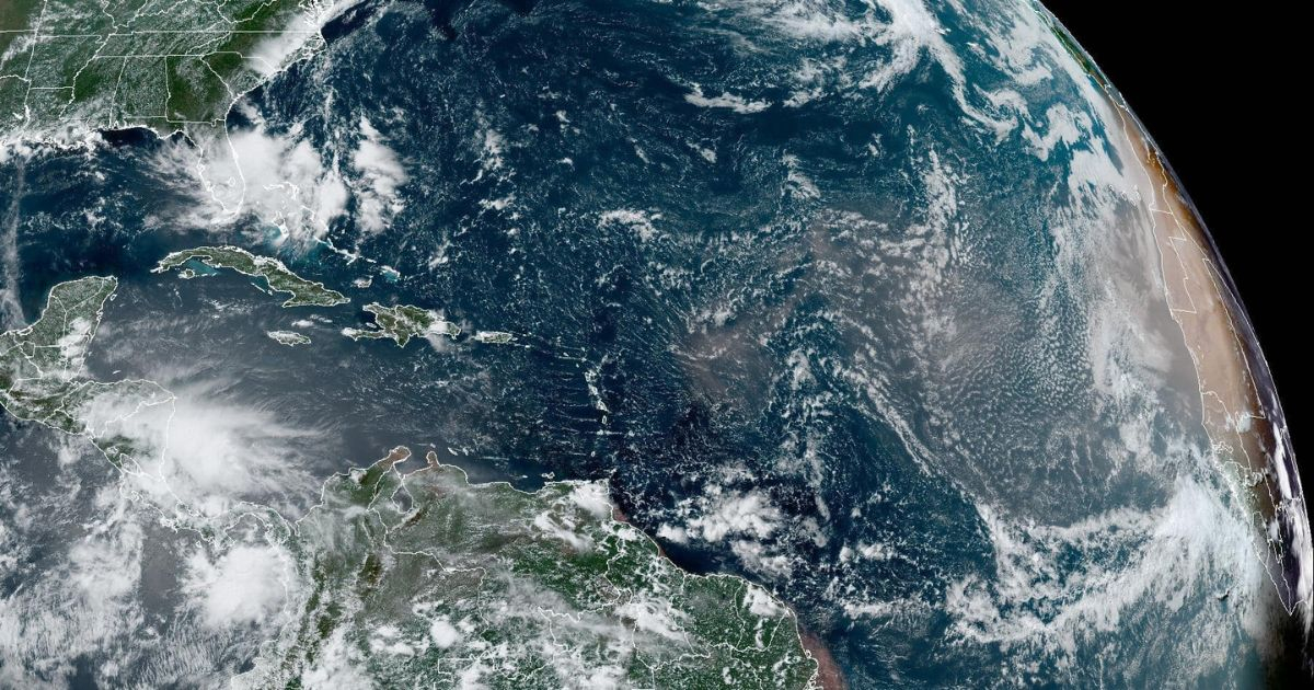
The Sahara dust is playing a crucial role in keeping the tropics calm over the coming days, according to a recent warning from a Cuban meteorologist.
This phenomenon, which occurs more frequently from late June to mid-August, involves waves of Saharan dust that cross the Atlantic and even reach the Gulf of Mexico, noted specialist Raydel Ruisánchez on his Facebook account.
During this period, tropical disturbances are influenced by this layer of dry air from the Sahara, with strong associated winds that significantly limit the formation of tropical cyclones, noted the meteorologist.
He emphasized that currently, there is only one disturbance near the east coast of the United States, with very low chances of developing into a tropical cyclone.
"While the air layer over the Sahara is currently keeping cyclonic activity in check, we must be prepared for a possible increase in tropical cyclones once these concentrations decrease in August and September," the specialist warned.
Regarding the intense hurricane season forecasted, the meteorologist referenced Colorado State University, which in its recent update increased its prediction to 25 named storms, 12 hurricanes, and 6 major hurricanes, including those that have already formed.
In addition, the university noted that there is a 67% likelihood of a strong hurricane striking Cuban territory, it emphasized.
The Sahara dust has temporarily impacted tropical activity and contributed to the cooling of Atlantic waters, particularly near Africa, Local 10 news portal recently reported.
According to the information, the dry air laden with dust from the deserts of North Africa typically peaks in late June and July, marking an early part of the seasonal cycle.
In 2023, the presence of Saharan dust was minimal, with the lowest coverage recorded in at least 20 years, since satellites began measuring this variable.
Filed under: