
Starting this Friday and until Sunday, rainfall will increase in the eastern and central regions of Cuba due to a tropical wave that will affect the country, the Forecast Center of the Institute of Meteorology warned this Thursday.
The note specifies that starting this Friday, the areas of cloudiness with downpours, rains, and thunderstorms will increase, which may be strong and intense in some localities of the eastern and central regions of Cuba, extending to the western region on Saturday and Sunday.
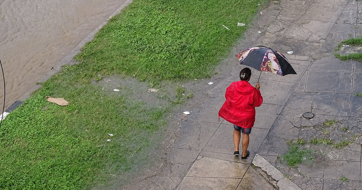
The Cuban Civil Defense published a statement on the social network X warning that strong wind gusts and even severe local storms may occur in areas of showers and thunderstorms. "Great attention should be paid to the flooding that could occur in low-lying and poorly drained areas."
"The rains, which will be the most important element for Cuba, will be associated with the active tropical wave currently located over the Dominican Republic," the note stated.
He also emphasized that in recent hours, the area of cloud cover with showers, rain, and thunderstorms from the system has increased, affecting Hispaniola, the southern Bahamas, the adjacent seas, and the northern portion of the eastern Caribbean Sea this Thursday.
"In the next 24 to 48 hours, a low-pressure area will form within the tropical wave, close to or over the national territory. This system will move between the west and west-northwest over eastern Cuba tomorrow, Friday the 2nd, and over the center and west of the country on Saturday the 3rd," noted the report from the Forecast Center.
It was also reported that the low is expected to enter the Florida Strait from Saturday afternoon and later in the southeastern Gulf of Mexico, where it may encounter favorable conditions for its tropical cyclone development and become a Tropical Depression or Tropical Storm, moving further north starting Sunday the 4th.
The Forecasting Center emphasized that close monitoring of this system will be maintained, given its projected path near or over Cuba and the somewhat favorable oceanic and atmospheric conditions for tropical cyclone development.
"A special advisory or tropical cyclone advisory will be issued if necessary," the note stated.
The meteorologist Elier Pila Fariñas specified on the social network X that heavy rains are forecasted for Friday and Saturday.
The National Hurricane Center has been closely monitoring this disturbance as it moves across the Atlantic in recent days.
What do you think?
COMMENTFiled under: