
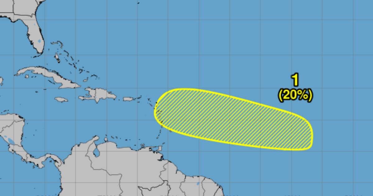
An area of low pressure that could form in the coming days in the central part of the tropical Atlantic is being closely monitored by the National Hurricane Center (NHC), although this system has a low probability of becoming a tropical cyclone, according to experts.
In a weather forecast issued on the morning of this Tuesday, the NHC announced that it is monitoring the central tropical Atlantic area for a possible low-pressure system, but estimated a 20% probability that this event will lead to the formation of a cyclone in the next seven days.
Meteorologists estimate that the probability of formation in 48 hours is low - near 0% - and also low over a period of seven days (20%).
The trajectory indicated by the NHC chart shows that the possible area of low pressures is moving towards Cuba.
"The environmental conditions appear generally favorable for a slow development of this system this weekend until the beginning of next week, as it moves west to west-northwest at 10 to 15 mph," the weather forecast specifies.
This year, the hurricane season in the Atlantic, which runs from June 1 to November 30, has been considered very active. In fact, experts describe it as the most active in the last three decades, due to very favorable conditions for storm development, such as warmer sea temperatures and a reduction in vertical wind shear.
In an average season, 14 named storms, seven hurricanes, and three hurricanes of category 3 or higher typically develop, but the 2024 season could surpass those figures.
Just two weeks ago, with the peak of the season approaching, the National Oceanic and Atmospheric Administration (NOAA) of the United States adjusted its forecast.
The new report shows a slight but significant adjustment in NOAA's forecasts, which estimate a range of 17 to 24 named storms (winds of 39 mph or greater) and 8 to 13 hurricanes (winds of 74 mph or greater).
What do you think?
COMMENTFiled under: