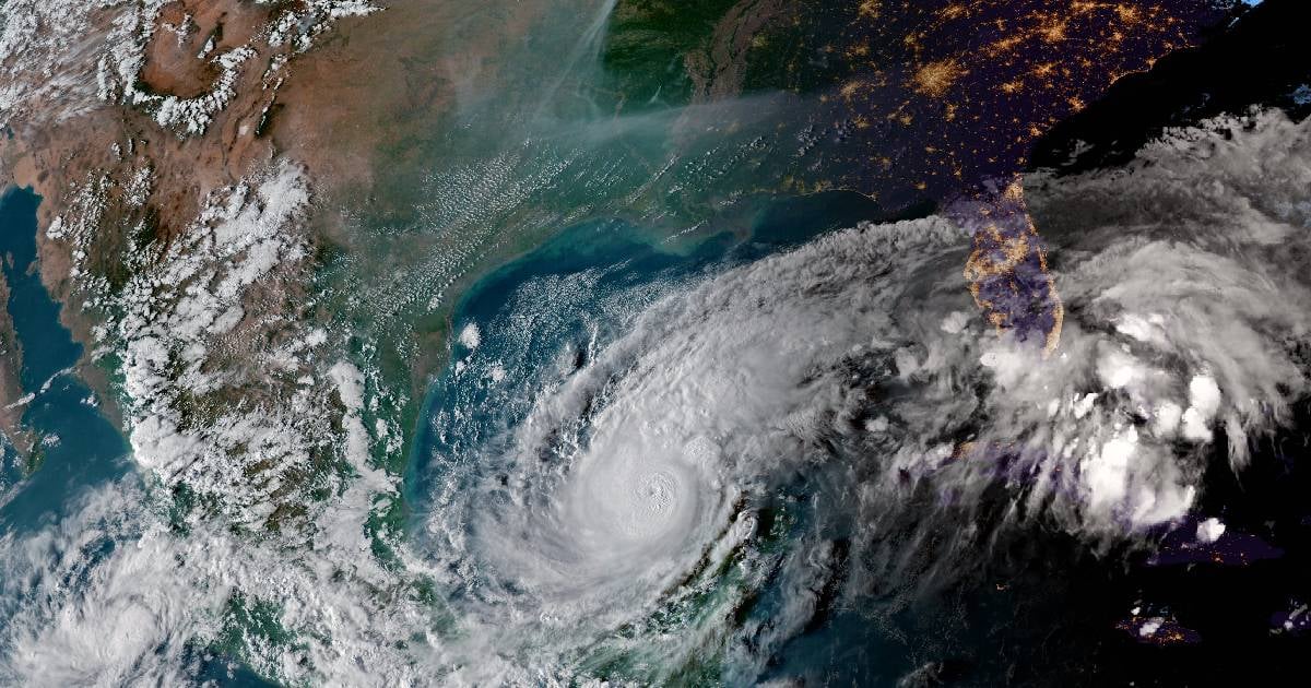
Hurricane Milton, a powerful meteorological phenomenon oscillating between categories 4 and 5 on the Saffir-Simpson scale, has been captured from the International Space Station (ISS), showcasing its gigantic power over the Gulf of Mexico.
It was on the morning of this Tuesday that the external cameras of the ISS captured images of the impressive storm, with winds of 175 miles per hour (280 km/h), moving through the Gulf of Mexico toward the west coast of Florida.
In the shared video, the eye of the meteor can be seen, while thick bands of clouds extended around the area.
Milton rapidly intensified between Sunday and Monday, reaching category 5, the highest level on the Saffir-Simpson scale, as it moved over the Gulf of Mexico and approached Florida. However, by Tuesday morning, it downgraded to category 4, though it continues to pose a serious threat to life and property along the west coast of Florida.
The National Hurricane Center of the United States (NHC) reported that the cyclone has sustained winds of up to 155 mph (250 km/h), with even stronger gusts.
The Miami Weather Service has also warned about the strength of the winds, rains, and high waves that will hit the state.
Milton has recorded a barometric pressure of 897 millibars (mb), making it the fifth hurricane with the lowest pressure recorded in the Western Hemisphere.
This figure places it among the most powerful hurricanes in history, nearing the theoretical intensity limit of these phenomena, according to a study from MIT. According to Telemundo Chicago, Milton is "almost at the limit of what the Earth's atmosphere can produce."
What do you think?
COMMENTFiled under: