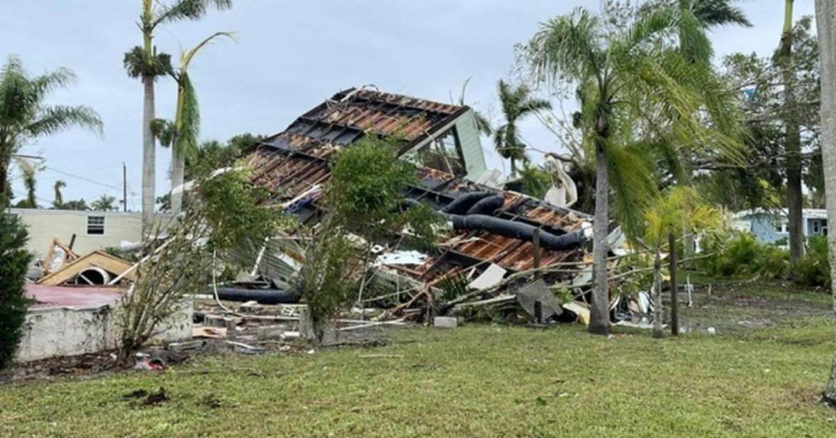
The Miami city Meteorological Service (NWS) issued a tornado alert for southern Florida, which will be in effect until 9:00 p.m. this Wednesday.
"While we remain on the northeast side of #Milton today, the threat of some tornadoes continues. Have a way to receive alerts!" wrote the weather agency on X, which shared a map illustrating the extensive area that could be at risk of tornadoes throughout the day today.
"A tornado watch is issued when a tornado is possible. A tornado warning is issued when a tornado is occurring or is about to occur," specified NWS.
The National Hurricane Center (NHC) also referred to the high probability of tornado occurrences in South Florida and showed the areas that are at greater risk of being affected by the feared weather phenomenon.
The NHC also shared a map showing the danger of potential flooding in the coming hours.
In the intermediate bulletin at 8:00 a.m. (local time), the National Hurricane Center warned that winds will begin to increase along the west coast of Florida throughout this afternoon, and urged to finalize preparations and evacuations, as time is running out.
At 8 in the morning, the eye of the hurricane is located about 195 km (120 miles) west of Dry Tortugas and about 405 km southwest of Tampa, with maximum sustained winds of 250 km/h (155 mph).
Milton -which has returned to category 4- has increased its translational speed, which is now 26 km/h (16 mph), and continues moving to the northeast.
What do you think?
COMMENTFiled under: