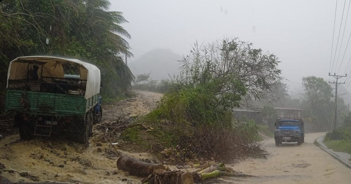
The Institute of Meteorology of Cuba (INSMET) has forecasted rain and high seas along the northern coast from Camagüey to Guantánamo for the afternoon and evening of this Wednesday.
In its report, the monitoring center indicated that showers will be more frequent and intense in the north of Holguín and Guantánamo, where heavy rainfall could occur in some areas.
He noted that, in the rest of the country, the sky will be partly cloudy, with a possibility of isolated rains, primarily in the interior and the southeastern region.
High temperatures will range from 29 to 32 degrees Celsius, with the warmest conditions in the southeastern region, and at night they will drop to between 23 and 26 degrees Celsius.
Winds will blow from the northeast to the east at speeds ranging from 15 to 30 kilometers per hour, potentially reaching 35 kilometers per hour in the northern coastal areas, with stronger gusts.
Regarding the maritime conditions, high waves are expected along the northern coastlines of the western and eastern regions, and surf will be seen in the central region as well as from Cabo Cruz to Punta de Maisí. In the rest of the southern coastline, minimal wave activity is anticipated.
In a previous report, INSMET announced that over the last 24 hours, rain was recorded in the province of Guantánamo, while it was significantly more scattered in the rest of the country, with reports mainly along the northern coast.
These rains are still linked to cloud cover coming from the sea, carried by winds from the northeast to the east, as well as to the remnants of a trough extending from the south of the Bahamas to the seas north of eastern Cuba.
It was noted that in the central part of the country, there have been showers and some thunderstorms driven by strong upper-level currents, with the city of Camagüey recording a total of 47.4 millimeters of precipitation.
Additionally, it was noted that high migratory pressures continue to dominate the area, generating winds from the northeast to the east. This has contributed to the formation of high clouds associated with upper-level currents, which could lead to occasional cloudiness in the central and eastern northern coast during the morning, with a higher likelihood of rain in the easternmost part of the country.
Due to the terrain conditions, these rains could become intense in some areas, while very isolated showers are expected in the rest of the country.
Regarding cyclonic activity, the development of tropical systems in the Atlantic Ocean, the Caribbean Sea, or the Gulf of Mexico is not expected in the next 12 to 24 hours.
The persistent rains have delayed repair work on the La Farola viaduct, one of the main access routes to the city of Baracoa, which suffered severe damage after Hurricane Oscar passed through.
However, they have not prevented the regime from beginning the distribution of a few products to those affected by Hurricane Oscar.
Filed under: