
Related videos:
A cold front could reach Cuba next Thursday, although there is still a chance it may dissipate before reaching the country; if it does arrive, isolated rain is expected, mainly in the areas of the northwestern coast, followed by a drop in temperatures starting Friday.
The meteorologist Raydel Ruisánchez informed on his social media that, after the passage of the front, high pressures will begin to influence the island, bringing with them a mass of cooler and drier air.
According to the expert, this mass of cold air will generate negative temperature anomalies across much of the Cuban territory, as indicated by weather models.
By the beginning of the week, the highest likelihood of rain will be concentrated in the eastern region, while the rest of the country will experience limited precipitation, he noted.
As for the temperatures, they will remain pleasant in the west, with slight variations towards warm in the eastern region.
The early mornings will remain cold in areas of the interior west and center, although a gradual increase in temperatures is expected as the week progresses.
Ruisánchez recommended monitoring weather updates in the coming days, as the evolution of the system remains uncertain and its impact on Cuba will depend on how it behaves as it moves southward.
In another post, meteorologist Raydel Ruisánchez reported that the early hours of the previous morning were marked by a significant drop in temperature in several areas of the interior, due to the influence of high pressures of continental origin, which brought with them a cooler, drier, and more stable air mass.
He explained that the minimal cloud cover during the night and the weakness of the winds facilitated thermal radiation, contributing to colder temperatures in the early morning. Among the lowest recorded temperatures were Santo Domingo and Indio Hatuey at 10.9 °C, Tapaste at 12.4 °C, and Jagüey Grande at 13.0 °C, among other locations affected by the cooling.
The specialist indicated that temperatures will rise in the coming days, although mornings will remain cool. He also warned that starting Thursday, a new drop in temperatures could occur, leading to cold mornings again in several regions of the country.
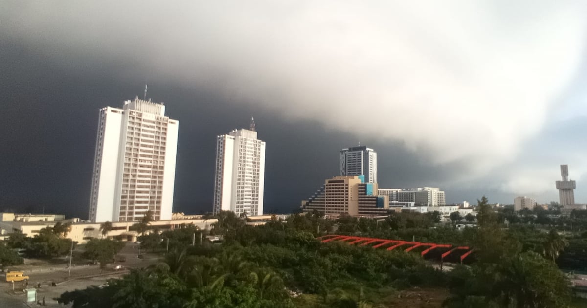
In January, a cold front that impacted the western part of Cuba left stunning images.
Numerous users on social media shared photos of what the phenomenon caused in beaches, fields, and cities.
Frequently Asked Questions about the Cold Front in Cuba
When is the arrival of the cold front expected in Cuba?
The cold front could reach Cuba next Thursday, mainly affecting the western region with isolated rains and a drop in temperatures starting on Friday.
What impact will the cold front have on temperatures in Cuba?
It is expected that the cold front will cause a drop in temperatures, resulting in negative anomalies over much of the Cuban territory. The early mornings will be particularly cold, with a gradual rise in temperatures towards the end of the week.
How will the cold front affect weather conditions in Cuba?
The cold front will bring isolated rains, especially along the northwestern coast, and a drop in temperatures. High pressures will bring a cooler and drier air mass, influencing the weather on the island.
Which regions of Cuba will be most affected by the cold front?
The western region of Cuba will be the most affected by the new cold front, especially the areas along the northern coast, although its influence will gradually extend to the rest of the country.
Filed under: