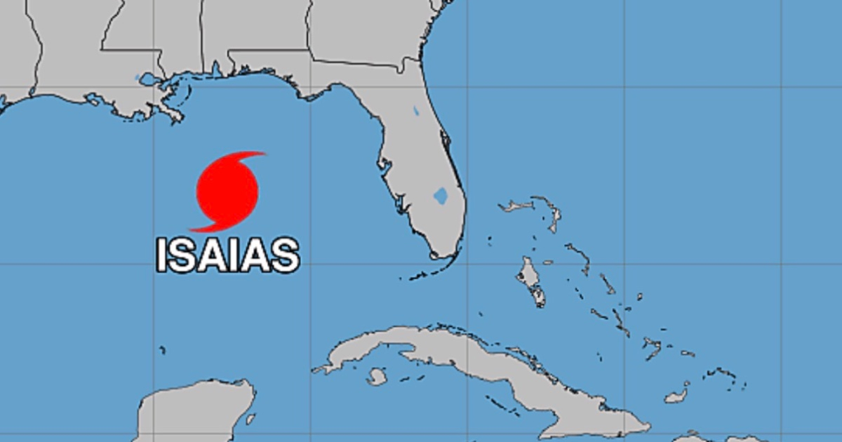
The hurricane Isaías reached category 3, with maximum sustained winds of 195 km/h, this Friday, October 9, as confirmed by the National Hurricane Center (NHC) of the United States. The intensification occurred as the cyclone moved toward the northern coast of the Gulf of Mexico.
The confirmation came in an extraordinary update from the NHC (TCU), issued at 7:20 a.m. Central Time in the United States (8:20 a.m. in Miami). The data comes from a hurricane-hunting aircraft from the U.S. Air Force, which detected sustained winds of 120 miles per hour (195 km/h), with higher gusts.
The record shows an increase of 20 km/h compared to the intermediate bulletin 11A, issued 20 minutes earlier. At 7:00 a.m., the NHC still placed the intensity of Isaías at 175 km/h and noted that it was about to reach category 3. The new report confirms that it is now a major hurricane on the Saffir-Simpson scale.
According to reconnaissance flight data, the minimum central pressure was 959 millibars, measured by a probe launched from the aircraft. The center of the hurricane was located near 27.0 degrees north latitude and 87.6 degrees west longitude, approximately 390 kilometers south of Pensacola, Florida, and 275 kilometers south-southeast of the mouth of the Mississippi River.
Isaías was moving north-northeast at 24 km/h. The extraordinary update confirms the strengthening of the cyclone, but does not indicate any changes in its forecasted path or in the areas under weather advisory.
The northern coast of the Gulf of Mexico remains under threat
According to bulletin 11A, prior to the confirmation of category 3, the NHC expected the center of Isaías to make landfall in the warned area during the night of this Friday or in the early hours of Saturday, October 10. The extraordinary update at 7:20 a.m. does not include a new forecast regarding the timing of landfall.
In bulletin 11A, there was a hurricane warning from Ocean Springs, Mississippi, to the border between Bay and Gulf counties in Florida, as well as a storm surge warning from the mouth of the Mississippi River to the Suwannee River in Florida.
That same report, corrected by the NHC, raised the expected flooding from storm surge to 2.7 meters in the area between the Alabama and Florida border and Grayton Beach, provided that the peak of the surge coincides with high tide. This refers to the potential height of water over normally dry land, not the height of the waves.
The NHC urged completing preparations in areas under hurricane and storm surge warnings in the coming hours and to follow the instructions of local authorities.
Related videos:
Filed under: