
Related videos:
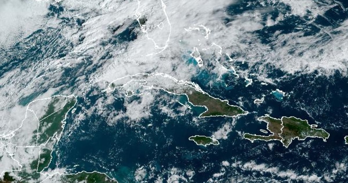
The Cuban Civil Defense issued an Early Warning Notice on February 24, 2025, due to the impending arrival of a cold front expected to bring heavy rain and thunderstorms to the western and central regions of the country over the next 24 to 48 hours.
The Forecast Center of the Institute of Meteorology (INSMET) confirmed that the change in weather will begin affecting the area starting Monday afternoon and will continue until early Tuesday morning.
The forecast from INSMET specifies that cloud cover will increase in the western region from late morning, with showers, rainfall, and thunderstorms intensifying in the afternoon and evening.
In some areas, precipitation could be heavy and intense, accompanied by gusty winds. In the rest of the archipelago, the sky will be partly cloudy, and the chances of rain will increase along the central northern coast during the night.
Maximum temperatures will range from 28 to 31 degrees Celsius in the west and from 30 to 33 degrees in the rest of the country, while nighttime minimums will be between 21 and 24 degrees Celsius.
Winds will be from the southeast to the south until the end of the morning in the western region, with speeds of 10 to 25 kilometers per hour, stronger in gusts along the northern coast. In the afternoon, they will shift from the southwest to the west and by night will change to the northwest, maintaining the same intensity.
Authorities advised the public to stay informed through the official channels of Civil Defense and the Meteorological Institute, as well as to take measures to protect property and individuals from potential flooding in low-lying areas and landslides.
Frequently Asked Questions about the Rain and Storm Alert in Cuba
Which regions of Cuba will be most affected by the cold front?
The cold front will mainly affect the western and central regions of Cuba, where heavy rains and thunderstorms are expected. Weather conditions will deteriorate from Monday afternoon until Tuesday morning.
What are the authorities' recommendations in light of the bad weather in Cuba?
Authorities recommend staying informed through the official channels of the Civil Defense and the Meteorological Institute. Additionally, it is suggested to take precautions to protect property and individuals, especially in low-lying areas prone to flooding and landslides.
How will the weather conditions affect temperatures in Cuba?
Maximum temperatures will range between 28 and 33 degrees Celsius depending on the region, while nighttime lows will be between 21 and 24 degrees Celsius during the passage of the cold front.
What impact will the cold front have on the winds in Cuba?
The winds in the western region will blow from the southeast to the south until late morning, with speeds of 10 to 25 kilometers per hour. Stronger gusts are expected, especially along the northern coast, shifting later to southwest to west and then northwest during the night.
Filed under: