
Related videos:
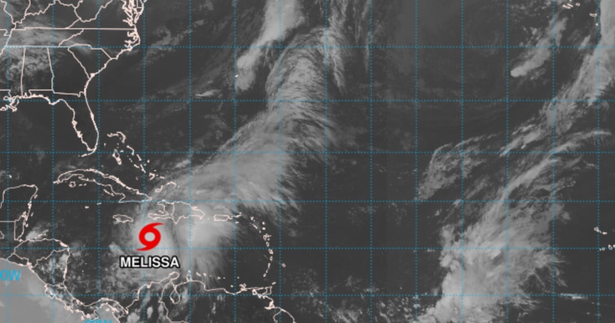
The National Hurricane Center (NHC) warned in its latest report this Friday that the tropical storm Melissa could begin rapid intensification in the coming hours and reach category 5, with a peak expected of 135 kt in 60 hours, as its internal structure improves over the very warm waters of the Caribbean.
The scenario increases the risk for Jamaica and, subsequently, for Cuba, whose trajectory cannot be ruled out towards the end of the forecast period, although the timing remains uncertain, according to Bulletin 14 issued at 5:00 PM EDT this Friday.
The official forecast from the NHC now shows a peak of 135 kt (extremely dangerous hurricane) and explicitly anticipates a rapid intensification over the weekend; there is a clear possibility that Melissa will reach category 5.
The trajectory guide shifted slightly to the east and is moving faster beyond three days; the system could be near Jamaica around day 4 and cross Cuba before the forecast period ends, with greater uncertainty than usual regarding the exact timing. Subsequently, a northeast turn would take it towards the southwestern Atlantic.
"People interested in Cuba and the Bahamas should closely monitor the development of Melissa, as there is a growing risk of a significant storm surge, damaging winds, and heavy rains in the middle of next week. The risk of flash floods and landslides threatening lives in eastern Cuba is increasing," says the statement."
Measurements from the C-130 and satellite observations indicate that Melissa is reorganizing its inner core: a deep convection burst with tops below –90 °C has begun to wrap around the low-level vortex; the GLM detected flashes rotating cyclonically on the eastern flank, and the GMI microwave (37 GHz) suggested an emerging wall feature.
The vertical shear estimated by UW-CIMSS decreased from approximately 25 kt to about 15 kt over 24 hours and also diminished at mid-levels.
That reduction, along with sea surface temperatures of 30–31 °C and a deeply humid environment, creates highly favorable conditions for Melissa to undergo rapid intensification "at any moment."
The NHC forecast anticipates this process to begin earlier and to be sustained over the weekend.
After the peak, there could be fluctuations due to changes in the core and a certain weakening from interaction with land (Jamaica/Cuba) towards the end of the period.
There is still a wide dispersion among models: the range includes scenarios further west or east, with Jamaica potentially being heavily impacted and the possibility of crossing over Cuba before the forecast concludes.
Filed under: