
Related videos:
The tropical storm Melissa turned into a hurricane on Saturday afternoon and is expected to continue intensifying.
"Hurricane Warning Melissa 17A: Melissa has become a hurricane and is expected to rapidly intensify into a major hurricane by the end of the weekend," reported the U.S. National Hurricane Center (NHC).
Tropical Storm Melissa became a hurricane on Saturday afternoon and is expected to continue intensifying.
"Hurricane Alert Melissa 17A: Melissa has become a hurricane and is expected to rapidly intensify into a major hurricane by the end of the weekend," reported the U.S. National Hurricane Center (NHC).
This Friday, Melissa left a trail of flooding, landslides, and property damage in several provinces of the Dominican Republic.
The images show streets turned into rivers in areas of Herrera and San Cristóbal, with vehicles partially submerged and families trying to seek shelter in higher grounds.
Authorities have issued an alert in 12 provinces and recommend avoiding crossing rivers and streams due to the risk of sudden floods. Severe flooding and landslides have been reported in communities in Greater Santo Domingo and in coastal areas of the south.
According to the NHC, the system could strengthen into a hurricane over the weekend, with the likelihood of heavy rainfall exceeding 350 millimeters in southern Haiti, the Dominican Republic, and Jamaica.
Persistent rains have already caused more than a thousand evacuations and at least one fatality in Dominican territory, while in Haiti, three deaths have been reported due to landslides, according to data released by CNN.
"The slow movement of Melissa exacerbates the risks, as rain accumulates over the same regions for days," explained meteorologist Chris Dolce to CNN Weather, warning that the phenomenon could reach category 4 within the next 48 hours.
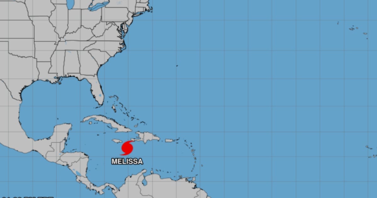
The cyclone, the thirteenth named system of the Atlantic in 2025, has maximum sustained winds of 113 km/h and is located about 243 kilometers southeast of Kingston, Jamaica, with paths that could directly impact eastern Cuba between Tuesday and Wednesday.
According to the NHC models cited by the newspaper, Santiago de Cuba, Guantánamo, and Holguín are experiencing a 21% to 33% probability of damaging winds exceeding 93 km/h.
The storm Melissa has become a symbol of a particularly active hurricane season. According to NOAA, the rise in ocean temperatures and the slowdown of cyclone movement are intensifying the duration and volume of rainfall in the Caribbean.
In a context of regional vulnerability, the Cuban population is closely monitoring the progress of Melissa, which already sends a clear warning: the Caribbean is once again in the eye of the storm.
Filed under: