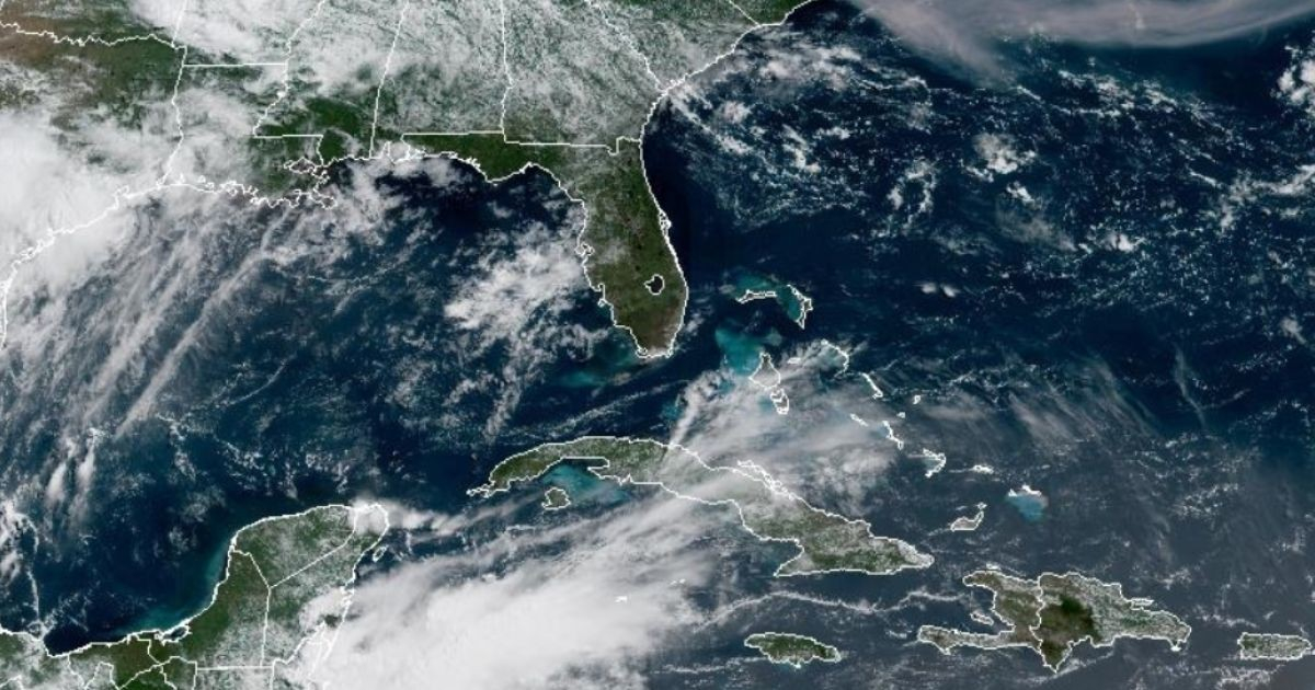
The National Hurricane Center (NHC) of the United States marked an area of interest in the northeastern Gulf of Mexico this Wednesday, assigning it a 20% chance of developing into an organized tropical system in the next seven days, which could lead to the second named storm of the season: Bertha.
The federal agency published its Tropical Weather Outlook at 8:00 AM Eastern Time, indicating that an area of low pressure is expected to form in that region over the weekend.
According to the NHC, "the gradual development of the system is possible as it slowly moves northeast over the northeastern Gulf and/or near the southeast coast of the United States early next week."
The probability of formation in the next 48 hours is virtually null—around 0%—but the seven-day threshold is set at 20%, which is classified as "low" by the agency.
The meteorologist Matt Devitt, who is closely monitoring the system through his Facebook page, explained that nearly all models shifted overnight and raised the chances of development again, prompting the NHC to officially designate the area.
"Fluctuations in probabilities are typical in this early phase, which is why we seek consistency," wrote Devitt, who added that the trend was sufficient for the NHC to take action.
Regarding the most likely impact, the meteorologist was straightforward: "At the very least, this will be a rain machine for Florida. There is a lot of tropical moisture in motion."
Devitt warned that the possibility of the system being named Bertha depends on its ability to overcome wind shear and dry air.
"If it can combat those factors, it would have a chance against the above-average water temperatures in the northeastern Gulf. But this is by no means guaranteed," he emphasized.
The possible trajectories generate uncertainty among the models. Devitt described the outlook as "a disaster and divided," with two main options: that the system moves to the northeast towards the Carolinas, or that it turns westward.
Based on the area marked by the NHC, the meteorologist believes that the system is leaning towards a northeastern trajectory.
As for the estimated timeline, the possible development would occur this weekend and at the beginning of the following week.
Devitt concluded his analysis with a message of reassurance: "For now, there is nothing to worry about. I will continue to provide updates 24 hours a day, without exaggerations, just the facts."
The context of the season is also relevant: Colorado State University (CSU) reduced its forecast on July 10 to just nine named storms, four hurricanes, and one major hurricane, which is equivalent to 40-45% of the historical average activity.
NOAA, for its part, predicts between eight and 14 named storms for the entire season.
The first system of the 2026 season was the potential Tropical Cyclone One, which became tropical storm Arthur and impacted Texas and Louisiana in mid-June, without reaching hurricane status.
If the current system in the Gulf were to organize, it would be Bertha, the second storm of the season.
Related videos:
Filed under: