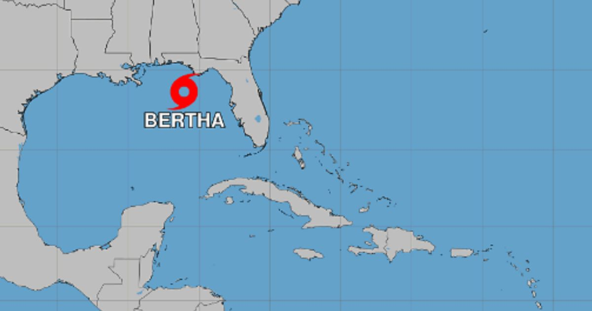
The tropical storm Bertha formed this Monday in the northeastern Gulf of Mexico, after hurricane hunters from the National Oceanic and Atmospheric Administration (NOAA) confirmed that the system had intensified from a depression to a tropical storm at 7:00 p.m. Central Time.
According to the Bulletin 6A from the National Hurricane Center (NHC for its acronym in English), Bertha is the second named storm of the 2026 Atlantic season, which began on June 1. The first was Arthur, which affected Texas and Louisiana, but did not reach hurricane status.
At the time the bulletin was issued, the center of Bertha was located about 180 kilometers south of Panama City, Florida, with maximum sustained winds of 65 km/h and stronger gusts. The minimum central pressure recorded by the NOAA aircraft was 1,004 millibars.
The system was moving erratically to the west-northwest at about six kilometers per hour. The NHC expects Bertha to move northwest during the night on Monday and the morning of Tuesday, before turning west-northwest or west.
According to the projected path, it will move near or along the northern coast of the Gulf of Mexico in the coming days.
The winds with tropical storm force extend up to 110 kilometers from the center of the system.
The NHC continues to maintain a storm surge watch from the border between Alabama and Florida to the mouth of the Mississippi River.
In that area, the water could reach between two and four feet above ground level if the peak of the storm surge coincides with high tide.
A tropical storm watch is also in effect from the Ochlockonee River in Florida to the boundary between Jefferson and Plaquemines parishes in Louisiana.
Tropical storm conditions are possible in the Florida Panhandle from Monday night to Tuesday, and in the rest of the watched area from Tuesday night to Wednesday.
Bertha could bring rainfall accumulations between five and ten centimeters, with isolated peaks of up to 20 centimeters, from western Florida to the central coast of Texas, including areas of southern Alabama, Mississippi, and Louisiana, until Friday.
These rainfall events could lead to flash flooding, especially in urban areas.
The bulletin also warns about the possibility of one or two isolated tornadoes during the night of Monday in the Big Bend region of Florida, as well as dangerous waves and potentially deadly rip currents in various areas along the Gulf coast.
The NHC has not yet specified a landfall point and noted that Bertha could move near or along the northern Gulf coast in the coming days.
The agency warned that new alerts or advisories could be issued during the night on Monday or Tuesday as the system continues to organize.
Related videos:
Filed under: