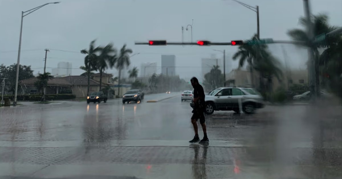
The south of Florida will experience a drastic change in its weather pattern this Saturday, with a expected to continue until the beginning of next week, according to the weather forecast from Telemundo 51.
The change comes after several days of intense heat and very little precipitation, and it can be explained by the convergence of three atmospheric factors: a trough at high levels strengthening over the eastern United States, a series of stationary frontal systems to the north of Florida, and a deep flow of tropical moisture settling over the southern part of the state.
The decisive element of the new pattern will be the direction of the wind.
In recent days, eastern winds have been pushing storms inward and toward the Gulf Coast, moving them away from the metropolitan area. Beginning on Sunday, this flow will shift to the west, bringing convective activity directly over Miami, Fort Lauderdale, Hollywood, Pembroke Pines, Hialeah, Kendall, and West Palm Beach, especially during the afternoons and early evening hours.
This Saturday, the atmosphere will be more humid and storms will be more frequent, although the interior of the state will continue to experience the most activity.
On Sunday, the stage will intensify with frequent downpours across much of southern Florida, including the metropolitan area, with some rain that could be heavy and persistent.
The most critical days of the forecast will be Monday and Tuesday, when the combination of abundant tropical moisture and westerly winds will lead to numerous storms throughout much of the afternoon and evening, especially affecting the east coast.
Although a widespread flooding event is not anticipated, the repeated storms over the same areas increase the risk of significant rainfall accumulations in a short period.
The main concerns are temporarily flooded streets, water accumulation in areas with poor drainage, reduced visibility during heavy downpours, and delays in travel during peak afternoon hours.
The strongest storms could also produce gusts of wind and significant electrical activity.
Despite the increase in rainfall, the heat will not relent: high temperatures will remain in the low 90°F every afternoon, and during dry periods, the heat index could exceed 100°F and approach 105°F in some areas.
The expected rainfall is, however, a partially positive piece of news for a region that has been enduring months of severe drought.
As of July 22, the metropolitan west of Miami-Dade and Broward was still experiencing severe drought conditions according to the , with areas further west under extreme drought.
That prolonged drought fueled a very severe wildfire season: as of July 24, Florida was experiencing nearly 50 active fires with over 10,000 hectares burned in recent days.
Forecasts indicate that the wet pattern could persist at least until the middle of next week, after which the chances of rain would start to gradually decrease, although summer in south Florida will continue to favor downpours and storms during the afternoons.
Related videos:
Filed under: