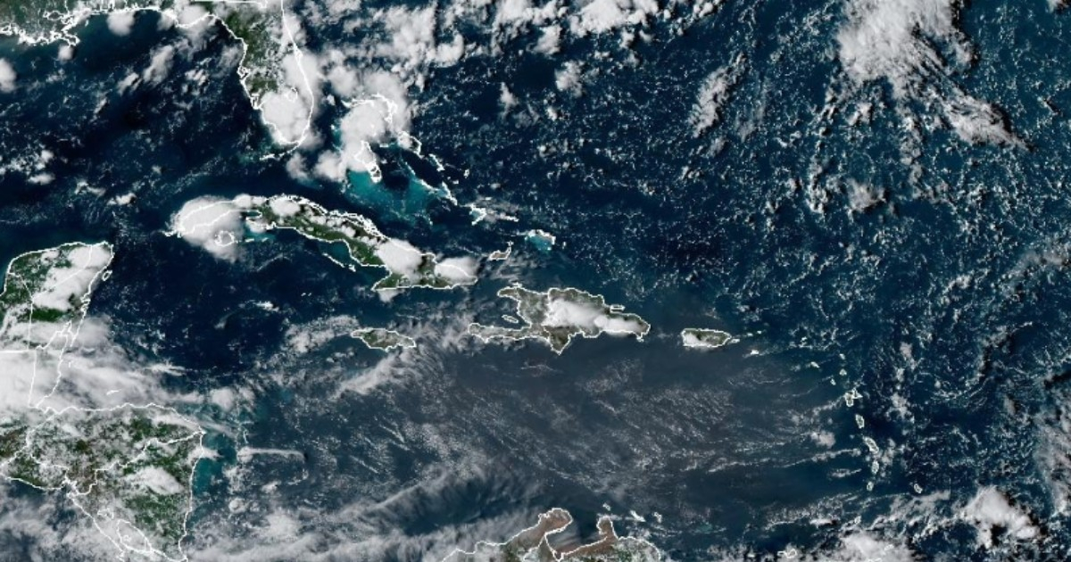
The 2026 hurricane season is progressing at a slower pace than usual in the Atlantic: by the end of August, only three tropical storms have formed, and none have reached hurricane status, despite the fact that climatologically, there should have been five storms and at least two hurricanes recorded by this date.
The Cuban meteorologist Elier Pila Fariñas analyzed this Wednesday in an article published by Cubadebate the unusual behavior of a season that seemed on the verge of activating, but remains practically calm.
August has thus far only brought Cristóbal, a system that was "fleeting" and barely lasted 24 hours.
His training initially seemed, according to Pila, "a yawn" from a season that was just beginning to awaken, but ultimately "Cristóbal was left alone on the list" for the month.
The balance for the entire season is also striking. As of August 26 only three tropical storms have formed, approximately one per month.
According to the specialist, Bertha was the only one to last more than 24 hours, while Arthur was active for only 12 hours.
The contrast with the weather is significant: "By this time of year, climatologically we should have seen the formation of 5 tropical storms, with at least two of them becoming hurricanes," Pila explained.
However, the Atlantic is not completely quiet. Meteorologists are monitoring an area of low pressure associated with a tropical wave that could develop into the fourth cyclone of the season.
Pila pointed out that some models continue to invest in their development due to the "excessive heat" of the Atlantic waters, but there are factors that work against this.
"The surrounding dry air does not favor it, and although the winds at high altitudes are not entirely unfavorable, we cannot say they are conducive to its organization and development," he explained.
Other models are even less optimistic and suggest that the system could remain simply as a tropical wave or, at most, develop into a low-pressure area.
One of the reasons that has contributed to slowing down activity during this season is El Niño.
In July, Colorado State University reduced its forecast for the 2026 hurricane season for the third time, precisely due to the strengthening of that climatic phenomenon.
The institution revised its forecast from 13 named storms in April to 11 in June and nine in July.
The estimate published in July considered four hurricanes, of which one could reach category 3 or higher, compared to the climatological average of 14.4 storms, 7.2 hurricanes, and 3.2 major hurricanes.
El Niño leads to an increase in wind shear over the tropical Atlantic, a condition that hinders systems from becoming organized and strengthening.
In fact, the National Hurricane Center (NHC) reduced the chances of development for system AL96 from the 70% noted on Tuesday to 60% both in 48 hours and over the next seven days, lowering its formation potential from "high" to "medium."
The NHC indicated that environmental conditions could become less favorable towards the end of the weekend and may even end its chances of development, although it still considers it possible for a tropical depression to form in the short term.
If it were to become a tropical storm, it would be named Dolly and would be the fourth named system of the season. So far, the NHC has not established an official trajectory toward Cuba, the Caribbean, or Florida.
Pila expects the disturbance to continue moving westward and that, after about 72 hours, it will likely shift to a northwest movement.
This trend, if it continues, would seem to move it away from the Caribbean Sea, although the meteorologist warned that "there is still a lot of sea ahead."
The tranquility of this season, however, does not eliminate the risk. Cuba is currently entering the climatologically most dangerous stage of the year, while the historical peak of activity in the Atlantic basin occurs around September 10.
For now, August is on track to end with activity levels significantly lower than usual.
Pila even joked that, if the trend of the forecasts continues, the usual end-of-month cyclone summary could have practically come early.
Related videos:
Filed under: