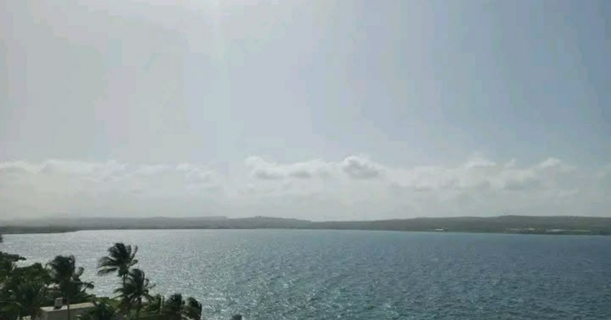
A low to moderate dust cloud from the Sahara began affecting the Cuban archipelago this Saturday, according to the Provincial Meteorological Center of Camagüey via the Institute of Meteorology and its Department of Solar Radiation and Atmospheric Optics.
Authorities estimate that the phenomenon will last between four and five days, with a possible influence extending until Tuesday, September 15.
The peak of the episode is expected on Sunday, while the highest particle concentration values will be recorded between this Saturday and Monday.
Forecast models predict a significant increase in Aerosol Optical Thickness at 550 nanometers, with values between 0.3 and 0.4, above the usual average for September.
An increase in PM10 particulate matter concentrations —particles of up to 10 microns— is also expected, and authorities warn that in some areas the Maximum Admissible Concentration established by the Cuban standard NC 1020:2014 could be exceeded, which sets a limit of 200 µg/m³ per hour and 50 µg/m³ over 24 hours.
The Meteorological Institute indicated that this threshold could be exceeded "particularly over the course of the weekend."
Authorities recommend that the population stay alert to informational updates and adopt protective measures, with special emphasis on people with respiratory conditions, seniors, and children, who are more vulnerable to these types of weather conditions.
Among the suggested measures are wearing a mask when going out, avoiding prolonged outdoor activities, keeping doors and windows closed, staying hydrated frequently, and rinsing the eyes and nostrils with clean water.
This episode in September arrives as the peak season of Saharan dust over Cuba—which mainly occurs between May and October—begins to decline from its summer peak.
During the 2026 season, the highest concentration of Saharan dust over Cuba was recorded on July 11, with values of up to 800 µg/m³ at the surface and 1,500 µg/m³ between one and three kilometers high, well above current levels.
Two days later, the cloud covered the western half of the island and reduced visibility in Matanzas.
The phenomenon also has a significant side effect during the peak of the Atlantic hurricane season: the Saharan Air Layer introduces dry and warm air that can temporarily inhibit the formation and strengthening of tropical cyclones.
Cuban research has linked the presence of Saharan dust with increases in cases of bronchial asthma during the summer, highlighting the importance of individual protective measures during these episodes.
Related videos:
Filed under: