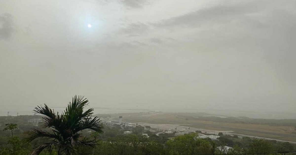
A huge cloud of dust from the Sahara has spread its effects to the south of Florida at an unusual time of year, although the highest concentrations remain over the Caribbean, and only the lighter part of the episode has brushed the peninsula.
The New York Times reported that the layer of dust covering much of the Caribbean over the weekend was approximately half the size of the continental United States.
On Saturday, light concentrations were already filtering into South Florida, he emphasized.
"These clouds still come from Africa in September, but they are smaller and usually do not reach a place like Miami," explained Jason Dunion, a research meteorologist at the University of Miami who works with NOAA's Hurricane Research Division and studies the Saharan Air Layer.
The episode is particularly noteworthy for occurring in September.
NOAA explains that the activity of the Saharan Air Layer typically increases in mid-June, reaches its peak between late June and mid-August, and begins to decline rapidly after mid-August, although these dry, dusty air masses can also form in early autumn.
The National Weather Service (NWS) in Miami had predicted that the highest concentrations of this episode would remain south of the Florida peninsula, although the drier air located on the periphery of the cloud would reach the region.
The images from NOAA's GOES-19 satellite allow us to monitor the movement of dust over the tropical Atlantic and the Caribbean as the mass continues to advance westward.
What effects will it have in Florida?
One of the most visible effects will be a haze in the sky in the areas affected by the suspended particles.
The Saharan air is also very dry and can hinder the development of some rain and storms. CBS News Miami forecasted that the arrival of the dust would slightly reduce the chances of rain during the first half of this week.
The National Weather Service (NWS) in Miami, however, maintained the possibility of scattered rain and storms in South Florida, due to the continued presence of sufficient moisture in the region.
The temperatures will remain high, with maximums generally in the low 90 degrees Fahrenheit in much of the southern part of the state, according to forecasts from the NWS in Miami.
The Saharan Air Layer can also temporarily hinder the formation and strengthening of tropical cyclones.
NOAA explains that the combination of dry air, warm temperatures, and strong winds creates an environment generally unfavorable for the development of these systems.
Regarding health, the presence of dust does not necessarily mean that all of Florida will experience poor air quality.
However, when particles reach low levels in the atmosphere, they can worsen it and cause irritation of the eyes, nose, throat, and lungs, according to the Centers for Disease Control and Prevention (CDC).
The CDC also points out that individuals with asthma or other lung diseases, those with heart conditions, older adults, infants, and children may be more sensitive when particle concentrations increase.
The cloud also affects Cuba
The episode is not limited to Florida. Cuba began receiving a cloud of Saharan dust with low to moderate concentration, the effects of which could extend until this Tuesday.
The forecasts for the island indicated that the highest concentrations would occur between Saturday and this Monday, with the most intense point expected on Sunday.
Cuban meteorological authorities also warned of an increase in PM10 particles and recommended special caution for the most vulnerable individuals.
Related videos:
Filed under: