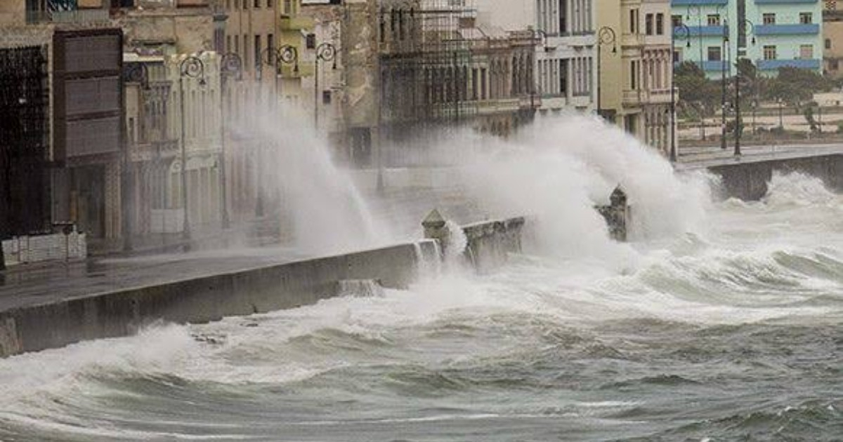
The tropical depression Nine officially formed this Tuesday in the southwestern Gulf of Mexico, according to the public advisory number one from the National Hurricane Center (NHC), but Cuba is not listed among the areas at risk and there are no active watches or warnings for any country.
At that time, the system was located about 615 km west of Progreso, Mexico, with maximum sustained winds of 55 km/h and a central pressure of 1,007 mb. Its initial movement was slow, heading east at only 7 km/h.
The NHC forecasted a rapid intensification: the system would reach tropical storm category early Wednesday morning and would become a hurricane on Thursday.
If it reaches tropical storm status, it would be named Isaías, and it would be the first hurricane of the 2026 Atlantic season, which has been the quietest in over a century so far.
Where is the system heading?
The projected path indicates that the cyclone is headed east and northeast, crossing north of the Yucatán Peninsula on Thursday. The NHC forecast points place the system at 23.1°N, 91.8°W on October 8, moving to 24.2°N, 90.1°W and 25.9°N, 88.8°W on Friday, October 9, with winds that could exceed 148 km/h.
On Friday, it is expected to approach the U.S. Gulf Coast, between southeastern Louisiana and the Florida Panhandle, where it could make landfall as a dangerous hurricane with winds near 100 mph.
This trajectory runs through the center and northwest of the Gulf of Mexico, to the west and northwest of Cuba. The NHC indicated that those interested in the Yucatán Peninsula and the northern Gulf coast should closely monitor the system's development, but it did not mention Cuba in any of its advisories.
What is the real risk for Cuba?
For now, none directly. The number one advisory from the NHC did not include Cuba among the affected areas, and the described hazards are concentrated in Yucatán—winds and rainfall of 50 to 100 mm until Thursday—and along the U.S. Gulf Coast, where between 75 and 150 mm of rain is expected from Friday through the weekend, with localized amounts of up to 250 mm.
However, the NHC warned in its first technical discussion that "there is significant uncertainty about exactly where the system will turn northeast and how quickly it will approach the coast."
In addition, although the cyclone is expected to remain compact in the coming days, “it will significantly grow in size, especially on its eastern side,” as it approaches the northern Gulf coast.
That eastward expansion is the key factor to monitor from Cuba. Depending on how the system develops, the western part of the island could receive some associated bands of rainfall, although the NHC did not issue precipitation forecasts for Cuban territory in this advisory.
The Cuban meteorologist José Rubiera had warned in recent days that the precursor system would "very likely" develop into a tropical cyclone, although he emphasized that it was too early to determine the exact impact location.
The NHC urged not to focus solely on the forecast points and to remain attentive to updates, given the existing margin of uncertainty. The next complete advisory is scheduled for 10:00 p.m. CDT this Tuesday.
Related videos:
Filed under: