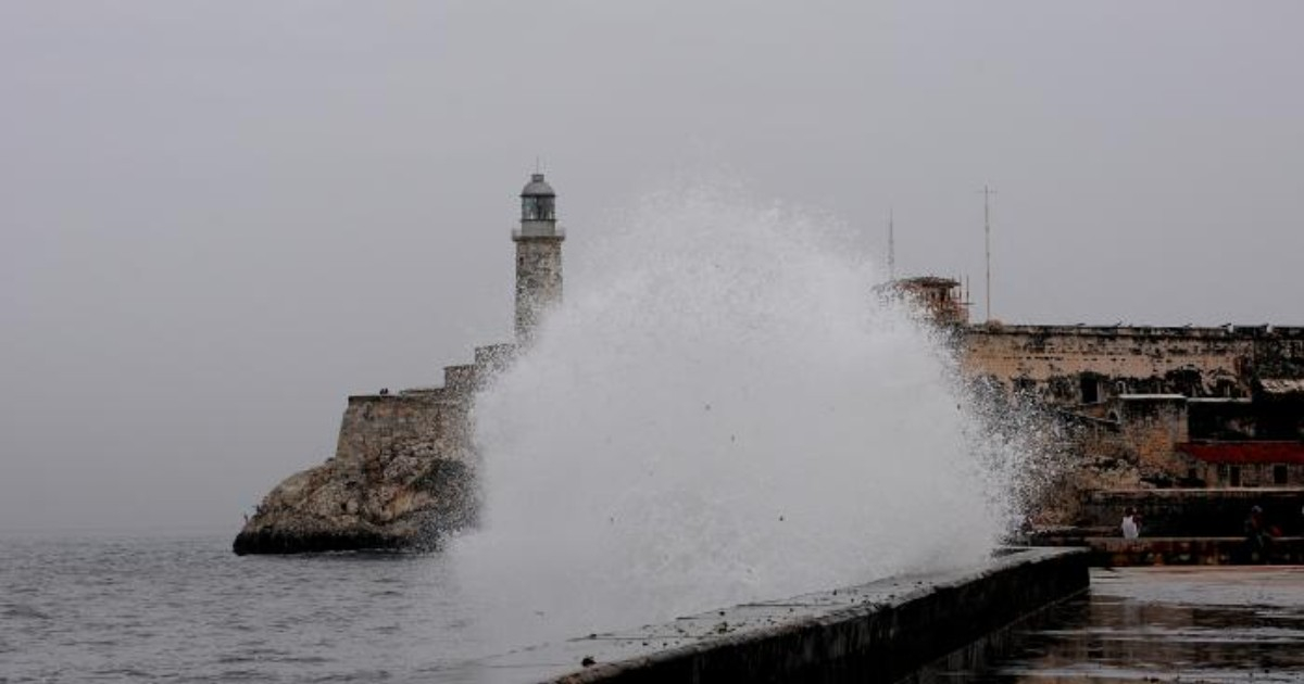
Cuba could face an unusual winter between November 2026 and April 2027, characterized by a greater influx of cold fronts, significant rainfall, marked temperature drops and an increased risk of severe weather events.
The anticipated conditions also include strong winds and potential coastal flooding, especially during specific episodes of adverse weather.
The forecast was presented this Monday during the XVI National Forum on Climate Perspectives, held at the headquarters of the National Civil Defense General Staff, according to the official newspaper Granma, based on projections made by specialists from the Institute of Meteorology (INSMET).
Experts attribute the expected scenario to the combination of two atmospheric factors: the presence of a very strong El Niño/Southern Oscillation (ENSO) in the equatorial Pacific Ocean and the weakening of the Arctic polar vortex.
Both conditions could alter the atmospheric circulation over North America and the Caribbean, favoring the arrival of frontal systems and cold air masses to Cuban territory with a frequency greater than usual.
According to specialists, the country could experience an increased number of cold fronts accompanied by significant precipitation, followed by the influence of migrating continental anticyclones.
These anticyclones are high-pressure systems that move in from North America and can push cooler air into the Caribbean after the passage of fronts.
Since December, there could be outbreaks of cold air masses capable of causing significantly low minimum temperatures in Cuba.
By February and March, forecasts indicate the likelihood of more frequent formations of extratropical low-pressure systems in the Gulf of Mexico, a phenomenon that could increase the occurrence of heavy rainfall, strong winds, and other severe weather events.
There is also the risk of coastal flooding in low-lying areas of the northern and southern coastlines.
The master's degree holder in Sciences, Idalmis González, head of the Climate Center at INSMET, explained that the El Niño phenomenon could reach its maximum intensity between November 2026 and January 2027.
During that period, the subtropical jet stream is expected to move further south and east, promoting the formation of severe weather systems in the southern United States, the Gulf of Mexico, and the Caribbean.
According to the shared perspectives, the western part of Cuba would be one of the regions most exposed to these atmospheric conditions, particularly due to the influence of low pressures and frontal systems.
Another factor considered is the evolution of the Arctic polar vortex, a large circulation of cold air located at high latitudes.
When this structure weakens or deforms, it can lead to the movement of very cold air masses towards more southern regions of North America, potentially affecting the Caribbean afterwards.
The projections from INSMET also highlight significant differences in rainfall distribution depending on the stage of winter and the region of the country.
Between November 2026 and January 2027, precipitation levels are expected to be above the historical average in the west, close to the usual values in the center, and below the average in the east.
However, the situation would change during the quarter between February and April 2027, when rainfall accumulations could exceed historical averages in all three regions of Cuba.
This distinction is important because the forecast does not predict above-average rainfall across the entire national territory over the six months, but rather a variable behavior depending on the season and geographical area.
Regarding temperatures, experts believe it is likely that both maximum and minimum values will be below the historical average during February and March in the west, center, and east.
This does not mean that every day in those months will be cold, but rather that the average conditions for the period could be lower than usual.
The forecasts presented this Monday align with previous warnings from Cuban meteorologists regarding the potential impact of El Niño during the winter of 2026-2027.
In June, meteorologist Yosmelvi Páez Cornell warned that Cuba could face a winter characterized by heavy rainfall, tornadoes, and severe storms, due to the changes this phenomenon causes in atmospheric circulation.
The specialist then explained that, although El Niño usually contributes to reducing the activity of tropical cyclones in the Atlantic, during winter it can lead to a higher frequency of cold fronts and storms over the Caribbean.
Among the potentially associated phenomena, he mentioned prefrontal storm lines, strong gusts of wind, isolated hailstorms, and waterspouts.
As a background, during the winter of 2009-2010, also influenced by El Niño, Cuba recorded seven cold fronts in February 2010, more than double the historical average for that month, which is around 3.34 systems.
The seasonal average of cold fronts affecting Cuba has historically been around 19.5, while one of the highest recorded was during the 1976-1977 season, when 35 systems arrived.
In August, other specialists warned about the various risks associated with El Niño for Cuba's climate, including changes in precipitation, extreme temperatures, and the possibility of an especially active winter season.
The monitoring of this phenomenon has been a priority for the Climate Center at INSMET, due to its ability to alter the usual behavior of rainfall and temperatures during both the wet season and the colder months.
Related videos:
Filed under: