
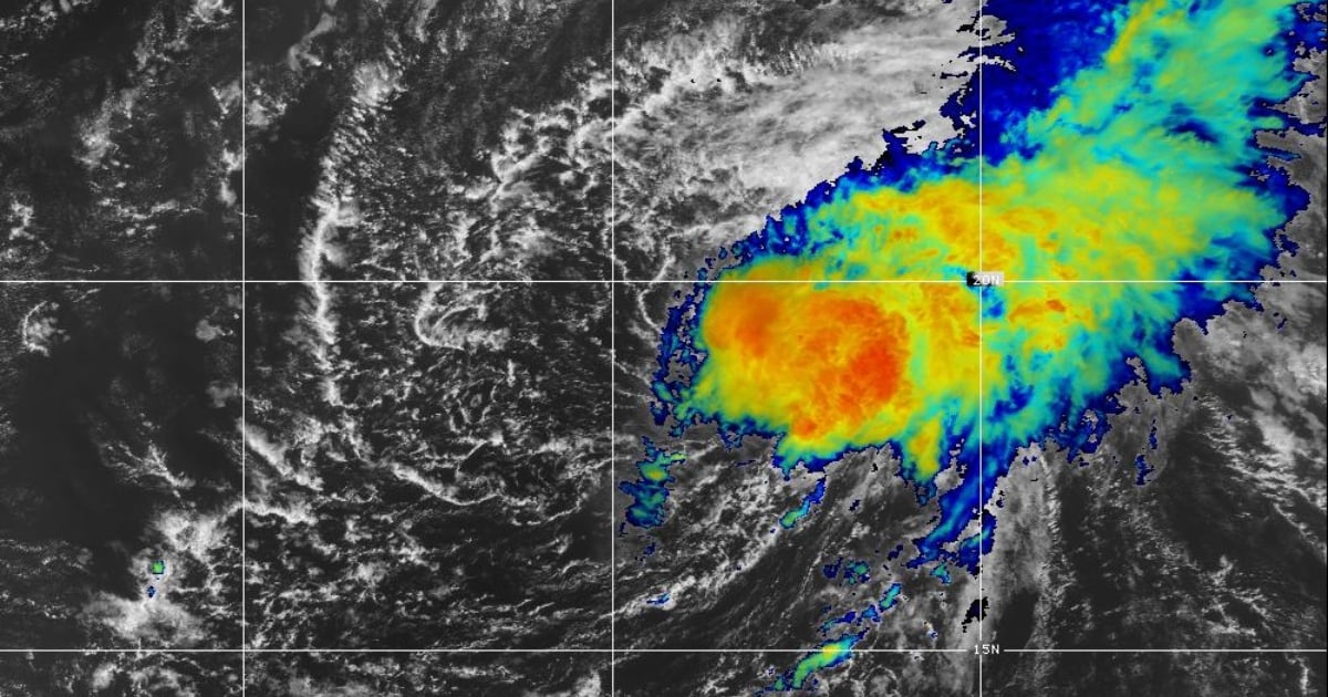
The seventh tropical depression that formed on Wednesday in the Atlantic strengthened and became Tropical Storm Gordon.
The National Hurricane Center (NHC) reported on Facebook that the center of the phenomenon is about 990 miles west-northwest of the Cape Verde Islands, (near latitude 19.4 North, longitude 38.6 West).
Gordon is moving west-northwest at about 12 mph (19 km/h) and is expected to continue moving west this weekend and on Monday.
Maximum sustained winds increased to near 40 mph (65 km/h), with higher gusts. A slight strengthening is expected this Friday before a trend of weakening begins on Saturday.
Tropical storm force winds extend outward up to 70 miles (110 km) from the center.
This week, the National Oceanic and Atmospheric Administration (NOAA) adjusted its forecast for the current hurricane season, the most active in the last 30 years in the Atlantic.
In adjusting its forecast, NOAA confirmed that between 17 to 24 named storms (winds of 39 mph or greater) could form, and between eight to 13 hurricanes (winds of 74 mph or greater).
Of these, between four and seven could reach significant intensity, with winds of 111 mph or greater.
Compared to the initial forecast from May, the total number of predicted named storms was reduced from 25 to 24.
NOAA Administrator Rick Spinrad noted that this update shows "that the peak of hurricane season is just around the corner."
In August and September is when the most severe impacts of hurricanes and tropical storms are historically recorded, he emphasized.
The hurricane season 2024 began on June 1 and will run until November 30.
It is considered the most active of the last three decades because there are favorable conditions for the development of storms, such as warmer sea temperatures and a reduction in vertical wind shear.
What do you think?
COMMENTFiled under: