
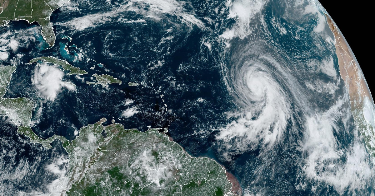
The thirteenth tropical depression of the current hurricane season formed this Wednesday in the easternmost part of the Atlantic and could become a hurricane this weekend, although it poses no danger to Cuba, according to meteorologists.
In the tropical cyclone advisory number 1 on this tropical system, the Forecast Center of the Institute of Meteorology (INSMET) of Cuba indicated that a wide area of low pressure located southwest of the Cape Verde Islands, in the eastern Atlantic, has organized and become the thirteenth tropical depression of the season.
The INSMET warned that the environment in which depression 13 will move "will be favorable for it to gain organization and intensity" and it will "probably become the tropical storm Leslie this Wednesday night."
However, he warned that "this system poses no danger to Cuba" and is only of interest for navigation.
In the morning, the National Hurricane Center (NHC) of the United States also issued its first notice about this system, predicting that it could become a hurricane over the weekend.
The report from INSMET also specified that this tropical depression has maximum sustained winds estimated at 55 kilometers per hour, with higher gusts, and a minimum central pressure of 1006 hectopascals.
At 11 in the morning, its central area was estimated at 10.6 degrees north latitude and 29.1 degrees west longitude, a position that placed it about 690 kilometers southwest of the southern tip of the Cape Verde islands.
The thirteenth tropical depression of the 2024 season is moving in a westward direction at a speed of 11 kilometers per hour. In the next 12 to 24 hours, it will continue its general movement westward, veering its course towards the west-southwest, Cuban meteorologists indicated.
Meanwhile, also over the Atlantic, Kirk transitioned from a tropical storm to a hurricane on Tuesday, and there are favorable conditions for it to strengthen and become a major hurricane, according to the NHC forecast.
Kirk is moving northwest at a speed of 14 mph (22 km/h), but its trajectory will not affect Cuba or Florida. Experts expect it to maintain this course over the next few days.
Meanwhile, another area of low pressure over the southwest Caribbean Sea - in the same spot where Hurricane Helene formed - continues with a 40% chance of developing into a depression in seven days.
This developing tropical depression currently consists of disorganized rains and storms associated with a low-pressure trough.
Environmental conditions could favor the gradual development of this system, which could become a tropical depression by the end of this week or during the weekend as it generally moves northwest over the northwestern Caribbean Sea and towards the Gulf of Mexico.
What do you think?
COMMENTFiled under: