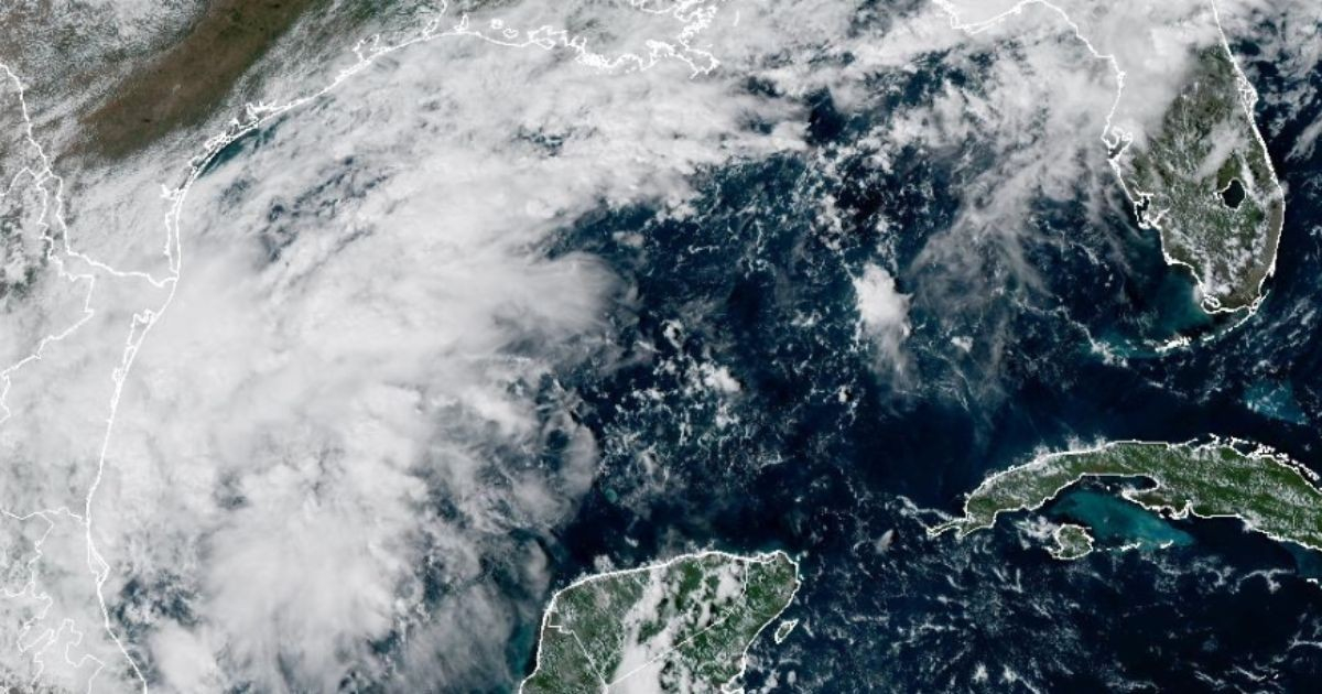
The National Hurricane Center (NHC) raised this Monday the probability of cyclonic formation to 80% over the next seven days for the disturbance AL92, located in the southwest Gulf of Mexico, while Florida and other areas along the northern coast remain under watch for the potential development of the system.
In its 2:00 PM EDT bulletin on Monday, October 5, the NHC also raised the probability of development in the next 48 hours to 60% and indicated that a tropical depression is expected to form during the middle of this week.
The system currently consists of a low pressure trough that is generating rainfall and disorganized thunderstorms over the southwestern Gulf of Mexico.
Although the environmental conditions seem to be only "marginally favorable," the meteorological agency indicated that gradual development has become increasingly likely.
The forecast indicates that AL92 will slowly move eastward over the next two days before turning north, potentially approaching areas of the northern coast of the Gulf of Mexico.
In an update shared through its official account on X, the NHC also published its key messages for the disturbance and warned that it is still too soon to accurately determine where the main effects of wind and storm surge might occur.
However, the agency urged residents and authorities from the northwest of Florida to Louisiana to closely monitor the development of the system over the coming days.
"It is too early to specify the exact location and magnitude of potential wind and storm surge impacts along the north Gulf coast," stated the NHC.
The agency also warned that, regardless of how much AL92 develops, the heavy rains associated with the system could cause flooding in areas along the northern coast of the Gulf of Mexico, the southeastern United States, and Florida by the end of this week and into the weekend.
The update suggests a rapid increase in development potential within hours. In the bulletin released early this Monday, the NHC indicated a formation probability of just 10% over 48 hours and 50% over seven days.
At that time, the agency was already indicating that the system could gradually organize and become a tropical depression during the week, although there was still no defined trajectory or specific threat to Florida.
Florida is also facing a period of heavy rainfall in the coming days. The expected rains are particularly affecting the northern and northwestern parts of the state, which means the potential development of AL92 adds another layer of weather monitoring for the end of the week.
Related videos:
Filed under: