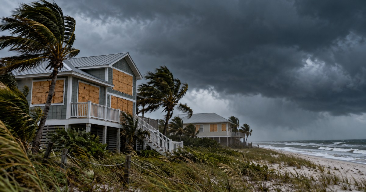
The National Hurricane Center of the United States (NHC) anticipates that Isaías will make landfall this Friday, October 9, in the evening to night hours in the extreme western part of northwest Florida, with major hurricane strength or close to it. This forecast is detailed in the bulletin number 12, issued at 10:00 a.m. Central Time (11:00 a.m. in Miami).
The new forecast indicates that Isaías could maintain a Category 3 intensity until it reaches the coast, in contrast to earlier predictions that expected a slight weakening beforehand. The meteorological discussion number 12 from the NHC notes that observations from hurricane hunter aircraft placed the center slightly further east than the previously anticipated trajectory, which increases the likelihood of an impact on the extreme western part of northwest Florida, near Alabama.
By 8:00 p.m. on Friday in Miami (00:00 UTC on Saturday), the forecast positions the center of Isaias right off that coastal stretch, with sustained winds of about 185 km/h. This is a forecast point, not a confirmed landfall time. The NHC warns that intensity may fluctuate before impact.
Hurricane winds could penetrate 160 kilometers into Alabama
At 11:00 a.m. in Miami, Isaías was maintaining its Category 3 status, with maximum sustained winds of 195 km/h and a minimum central pressure of 959 millibars. Its center was located about 310 kilometers south of Pensacola, Florida, and was moving north-northeast at 26 km/h.
Hurricane-force winds extended up to 55 kilometers from the center, while tropical storm winds reached up to 335 kilometers, according to advisory 12. These figures represent the greatest distances observed around the cyclone, not a uniform reach in all directions.
The NHC warns that, near the path of Isaias, sustained winds with hurricane force could reach up to 160 kilometers inland, into southern Alabama. Hurricane gusts could extend even further north, towards the center of that state. The system is expected to weaken after making landfall and lose its tropical characteristics by the end of Saturday.
Dangerous swell, heavy rains, and tornadoes
Bulletin 12 does not change the coastal alerts. The hurricane warning remains in effect from Ocean Springs, Mississippi, to the boundary between Bay and Gulf counties in Florida, and the storm surge advisory is in effect from the mouth of the Mississippi River to the Suwannee River in Florida.
The NHC maintains a maximum forecast of between 1.8 and 2.7 meters of flooding from storm surge from the border of Alabama and Florida to Grayton Beach, if the peak of the surge coincides with high tide. This refers to the potential height of water over normally dry land, not the height of the waves. The new breakdown from the NHC predicts between 0.9 and 1.5 meters in the southern sector of Mobile Bay and between 0.6 and 1.2 meters in the northern sector.
During the weekend, 100 to 200 millimeters of rain are expected in southern Alabama, northwestern Florida, the Big Bend region, and southwest Georgia, with local accumulations of up to around 380 millimeters. There is also a risk of flash flooding and river flooding, as well as tornadoes starting this afternoon along the Alabama coast, northwestern Florida, and southern Georgia.
The NHC urges those under evacuation orders to leave the designated areas immediately and follow the instructions of local authorities. In areas under hurricane warning, it advises completing preparations and being ready for prolonged power outages.
Related videos:
Filed under: