Related videos:
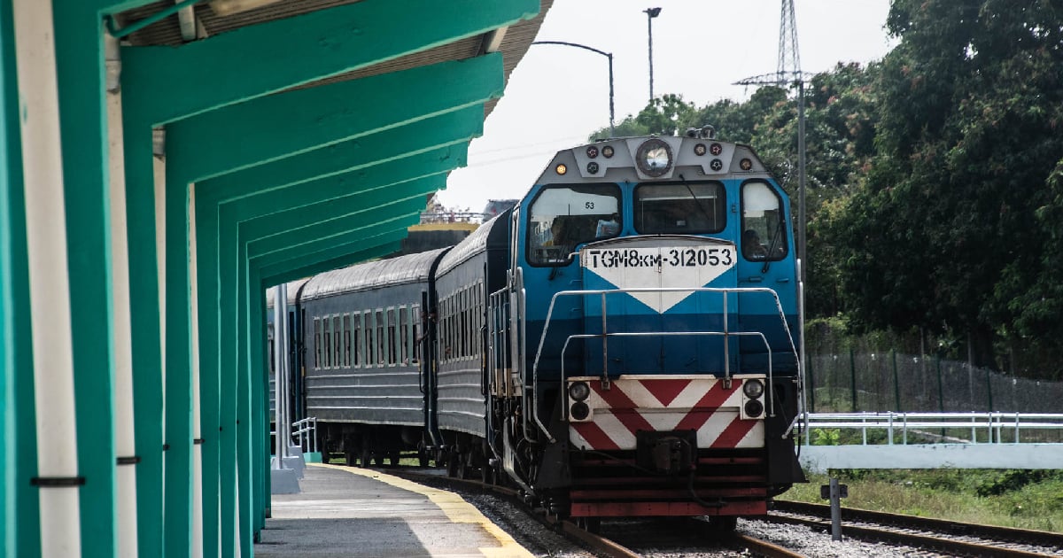
The intense rains that have been hitting the eastern region of Cuba since dawn forced the Ministry of Transport to suspend some of the railway services in the area.
The announcement was made by the head of the sector, Eduardo Rodríguez Dávila, through a post on Facebook, in which he explained that the measure aims to prevent accidents due to the deteriorating weather conditions.
During a visit to facilities in Santiago de Cuba, Rodríguez Dávila reported that he received a report from Deputy Minister Luis Ladrón de Guevara, who communicated that the ministry's working group evaluated possible scenarios on Friday afternoon in light of the increased rainfall and storms in the eastern and central parts of the country.
Although several national trains continued to operate smoothly, such as the Guantánamo-La Habana and the La Habana-Holguín routes, it was decided to cancel the Holguín-Guantánamo and Santiago de Cuba-Manzanillo routes in Granma province.
Local trains, meanwhile, will continue to operate only as long as conditions allow, based on the decisions of the provincial defense councils.
The minister specified that once the weather event has concluded, a review and certification of the condition of the railway tracks will be conducted before resuming any services.
As for road transport, the national buses continue their regular operations to and from the east, although authorities emphasize that constant monitoring is in place to make decisions as the situation evolves.
In the case of aviation, both domestic and international flights remain active, and the ports in the eastern and central regions continue to operate under measures for the protection of goods and vessels.
Rain and storms under surveillance
Meteorologists and reports on social media confirmed that the atmospheric instability is due to the tropical wave associated with Potential Cyclone Nine.
The expert Raydel Ruisanchez warned that accumulations of between 50 and 100 millimeters are expected in much of the eastern region, with higher values in Santiago de Cuba and Guantánamo, where they could reach up to 200 millimeters and in some extreme areas, between 300 and 400 millimeters.
These figures increase the risk of flash floods in low-lying areas.
The Institute of Meteorology (INSMET) reported that for this Saturday, cloudy skies are expected from Camagüey to Guantánamo, with showers and thunderstorms that will intensify in the afternoon and extend to the central region.
It also alerted about wave activity on the northeastern coastline and a local increase in wind strength.
Testimonies from the population
The eastern population began to feel the effects from early morning.
In Contramaestre, Santiago de Cuba, rain with lightning was recorded since 2:00 AM.
In Bayamo, the heavy rains began after 5:00 am, in Jiguaní at 4:30 am, and in Manzanillo since 11:00 pm on Friday.
Guantánamo also reported heavy rainfall from very early hours, while places like Marcané (Holguín), Imías (Guantánamo), Palma Soriano, Tercer Frente, Mangos de Baraguá, and Los Negros in Santiago de Cuba confirmed abundant precipitation.
In contrast, some areas of Las Tunas and Holguín only reported light drizzles.
Possible cyclonic evolution
INSMET issued a special notice that aligns with the alert from the National Hurricane Center (NHC) of the United States, which has given an 80% chance that the tropical wave will develop into a cyclone within the next 48 hours.
The phenomenon identified as #94L was moving on Friday near eastern Cuba and the Turks Islands, displaying signs of organization.
According to the NHC, the system could develop into a tropical depression as it moves to the northwest of the southwestern Atlantic, which would keep the Dominican Republic, Haiti, the Turks and Caicos Islands, and also eastern Cuba under risk.
In summary, the combination of the tropical wave with local conditions has created a landscape of intense rain, thunderstorms, and the threat of flooding in eastern Cuba.
Authorities assure that monitoring will continue permanently, while the population faces disruptions in transportation and the uncertainty of a possible cyclonic development in the coming hours.
Frequently Asked Questions about Intense Rainfall and Service Interruptions in Cuba
Why was train transportation suspended in eastern Cuba?
Rail transportation in part of eastern Cuba has been suspended due to the heavy rains caused by a tropical wave. The measure aims to prevent accidents due to the worsening weather conditions, especially on the Holguín-Guantánamo and Santiago de Cuba-Manzanillo routes.
What transportation services are still operating in eastern Cuba?
Despite the heavy rains, national bus services and both domestic and international flights remain operational. The ports are also still functioning, although with measures in place to protect goods and vessels.
What risks do the rains and the potential cyclone pose for eastern Cuba?
Intense rains, associated with the tropical wave and the potential cyclone, increase the risk of flash floods in low-lying areas of eastern Cuba. Accumulations of up to 200 millimeters are expected in Santiago de Cuba and Guantánamo, with the potential to reach between 300 and 400 millimeters in extreme points.
What is the probability that the tropical wave will become a cyclone?
The National Hurricane Center (NHC) of the United States has estimated an 80% chance that the tropical wave will develop into a cyclone within the next 48 hours. The system is moving near eastern Cuba and could evolve into a tropical depression.
Filed under: