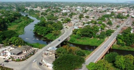
A few hours before the eastern region of Cuba begins to experience the most severe effects of Hurricane Melissa, residents of Santiago de Cuba were recorded dancing a conga in the street, in a scene that combines nervousness with a sense of belonging in the face of an extreme event.
According to reported by journalist Yosmany Mayeta Labrada, the group improvised a catchy rhythm while adjusting blinds, securing lightweight roofs, and discussing the official reports.
Meanwhile, the weather outlook is becoming more pressing. At 5:00 PM EDT this Tuesday, the National Hurricane Center reported that Melissa emerged off the northern coast of western Jamaica and is approaching eastern Cuba as a category 4 hurricane, with maximum sustained winds of 230 km/h (145 mph) and a central pressure of 921 mb.
The center was located at 18.5°N, 77.7°W, about 20 km east of Montego Bay and 325 km southwest of Guantánamo, moving north-northeast at 13 km/h.
The official forecast indicates that the core of the system will move away from Jamaica tonight and that the center will cross over southeastern Cuba between tonight and early Wednesday morning, before shifting toward the southeast or central Bahamas on Wednesday and getting closer to Bermuda on Thursday, with a more pronounced turn to the northeast and an increased speed of movement.
The wind field confirms the extent of the cyclone: hurricane-force winds extend up to 45 km from the center, and tropical storm winds extend up to 315 km, so dangerous conditions will precede the passage of the center through eastern Cuba.
Hurricane warnings are in effect for Jamaica, the provinces of Granma, Santiago de Cuba, Guantánamo, Holguín, and Las Tunas, as well as the southeast and center of the Bahamas; a tropical storm warning is in place for Haiti, Camagüey, and the Turks and Caicos Islands, and a hurricane watch is issued for Bermuda.
Authorities insist on looking for or staying in a safe shelter and accelerating preparations in the areas under warning.
The danger from rainfall is particularly high for the eastern region of Cuba, where the NHC forecasts total accumulations of 10 to 20 inches (250–500 mm), with local maxima of 25 inches (≈635 mm) expected by Wednesday, potentially causing life-threatening flash floods and numerous landslides on saturated slopes.
In Jamaica, despite the storm's departure, catastrophic flash flooding and landslides will continue tonight due to the residual bands.
Melissa's center is approaching the southeast of Cuba during the night and early morning of Wednesday, where tropical storm conditions are already being felt.
The NHC anticipates a very powerful hurricane impact on the southeast coast of the country, with widespread damaging winds near the cyclone's core, a storm surge of 8 to 12 feet above normal tide levels, and very intense rainfall: accumulations of 10 to 20 inches, with maximums of up to 25 inches from Manzanillo to Santiago de Cuba and Guantánamo, where the agency foresees catastrophic flash flooding and numerous landslides.
Filed under: