
Related videos:
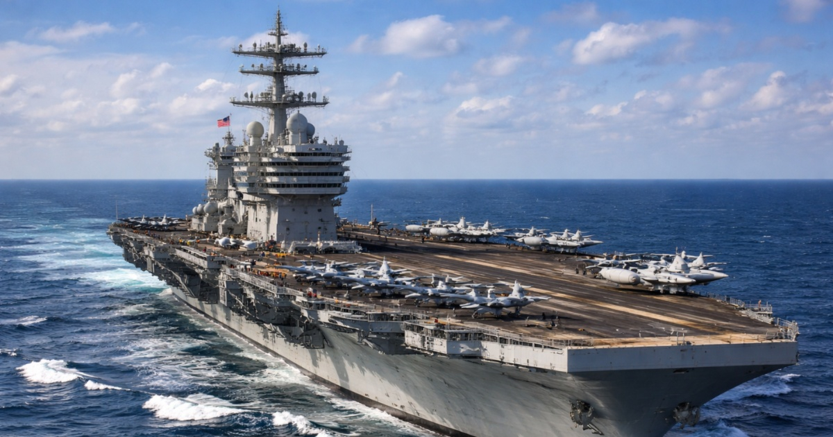
In recent hours, reports have circulated on social media and some news outlets regarding the alleged presence of the US aircraft carrier USS George H. W. Bush about 60 nautical miles north of Varadero, based on maritime tracking platforms such as MarineTraffic.
So far, there is no official confirmation from either the U.S. Government or the Cuban Government regarding its exact location, mission, or duration of deployment, so the matter should be handled with caution.
That said, if the vessel were truly about ~60 nautical miles (≈ 111 km) from the northern coast of Cuba, it would not be in Cuban territorial waters.
In that scenario, it would be beyond the 12 nautical miles that Cuba establishes as territorial sea and also outside of its contiguous zone (up to 24 nautical miles), although it could be located within the Cuban Exclusive Economic Zone (EEZ), which extends up to 200 nautical miles.
In public debate, "Cuban waters" is often used synonymously with "near Cuba," but legally there are distinct areas:
- 1) Territorial Waters (up to 12 nautical miles): this is indeed sovereignty. Cuba defines its territorial sea as 12 nautical miles. Within the territorial sea, the coastal state exercises sovereignty (with limitations such as "innocent passage" under international law).
- If the aircraft carrier were within 12 nautical miles, it would be in Cuban territorial waters (a very relevant and sensitive issue). However, 60 nautical miles is well above 12, so it wouldn't fall under that category.
- 2) Contiguous zone (up to 24 nautical miles): it is not full sovereignty. Cuba establishes a contiguous zone up to 24 nautical miles.
- Generally, this zone allows the coastal state to act to prevent or punish violations of certain regulations (such as customs, immigration, or health) related to its territory/territorial sea. At 60 nautical miles, it would also be outside the contiguous zone.
- 3) Exclusive Economic Zone (up to 200 nautical miles): rights over resources, not “enclosed waters.” Cuba establishes an EEZ of up to 200 nautical miles. In the EEZ, the coastal state has sovereign rights primarily over resources (fishing, energy, seabed exploitation), but other states retain navigation freedoms and other lawful uses of the sea.
- At 60 nautical miles, it is most likely that the aircraft carrier was within the Cuban EEZ, but that does not mean it was in “territorial waters.”
- 4) High seas (beyond the EEZ): lo que mucha gente llama “aguas internacionales”. “Alta mar” suele referirse al mar fuera de jurisdicciones como la ZEE (más allá de 200 millas desde la línea de base, salvo casos especiales).
- NOAA resumeestas zonas marítimas y sus alcances Si un buque está a más de 200 millas náuticas de Cuba, entonces sí sería más claro llamarlo “aguas internacionales/alta mar”. A 60 millas náuticas no sería alta mar.
So... Cuban waters or international waters?
With the information released (location approximately 60 nautical miles north of Varadero) and without official confirmation, it is most accurate to say that it would not be in Cuba's territorial waters (not "Cuban waters" in the sense of sovereignty).
It could be in Cuba's EEZ (an area where Cuba has rights over resources, but not absolute control over navigation). It would not be high seas (which many understand as strict "international waters").
The viral report has been amplified in a tense regional context with heightened interest in military movements in the Caribbean.
However, even the presence of U.S. warships in the region does not automatically imply hostile action, and without official data, discussing wartime scenarios would be speculative.
Filed under: