
Related videos:
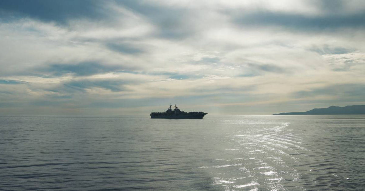
Cuba woke up this Wednesday, February 11, without the visible presence of U.S. military ships in the vicinity of its territorial waters, as observed on the updated marine map of the public platform Vessel Finder.
The image, taken Wednesday morning, shows a clear environment surrounding the Cuban archipelago. No contacts identified as warships are observed in the vicinity of the island, neither in the northern area off Havana and Matanzas, nor in the maritime corridor near Ciego de Ávila and Camagüey, nor in the easternmost region near Santiago de Cuba.
The map does show some traffic points in other areas of the Caribbean and southern Florida, but they are far from the boundaries of Cuban territorial waters.
No military vessels are detected in the Bahamas channel or in the vicinity of the northern cays, areas that had previously attracted attention due to the proximity of American ships.
The scene contrasts with reports from days earlier, when monitoring through open platforms indicated that at least three U.S. military vessels were operating close to Cuba.
In one of those cases, a vessel appeared less than eight nautical miles from the northern coast, near Cayo Romano Occidental, prompting monitoring due to its proximity to the 12-mile limit that defines territorial waters.
The update from February 11 thus reflects a situation of calm in the waters near Cuba, with no visible presence of U.S. naval units on the immediate horizon.
Filed under: