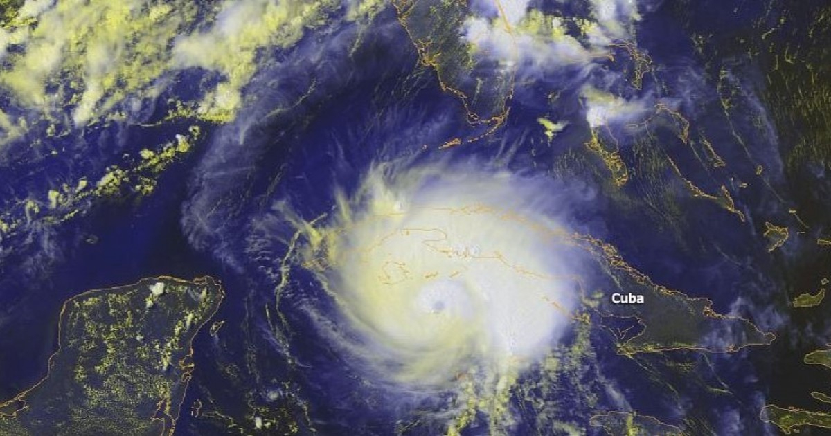
The second half of August marks the beginning of the highest cyclone danger period of the year for Cuba and the rest of the Caribbean, warned Professor Luis Enrique Ramos Guadalupe, coordinator of the History Commission of the Meteorological Society of Cuba, in statements to the Cuban News Agency.
Compared to June and July, August marks a significant increase in the emergence of tropical cyclonic systems in the tropical Atlantic basin, which includes the Gulf of Mexico and the Caribbean Sea, the specialist noted.
The third and fourth weeks of this month, along with the first half of September, represent the peak of cyclonic activity during the season in the Caribbean region.
For Cuba in particular, the eighth month of the year is the third highest risk for cyclone strikes, only surpassed by October and September.
Between 1791 and 2022, the island was affected by 19 hurricanes during that month, which accounts for 16% of all those that impacted it over those 231 years.
The area of greatest activity is concentrated in the open waters of the tropical Atlantic, between the coasts of Africa and the Lesser Antilles. From there, the systems typically move westward and west-northwest, with trajectories that can take them to the eastern Caribbean Sea, progress south of Cuba toward the Yucatán Peninsula, or head towards the Bahamas and the southeastern United States.
Two phenomena that impacted the country
Two hurricanes from August are etched in the collective memory of Cuba.
Charley, in 2004, made landfall on the southern coast of what was then Havana province on the 13th as a category three hurricane on the Saffir-Simpson scale, with maximum sustained winds of 180 kilometers per hour and gusts exceeding 200 km/h.
Four years later, the Gustav -category four- crossed over the western part of the Isle of Youth and entered Pinar del Río through Los Palacios. The meteorological station in Paso Real de San Diego recorded a gust of 340 km/h, the strongest officially reported in the Cuban archipelago.
What is expected this year
The 2026 season arrives, however, with an unusual calm.
The Accumulated Cyclonic Energy in the Atlantic was 75% below normal at the beginning of the month, with only two named storms - Arthur and Bertha - which did not pose a threat to Cuba.
However, the National Hurricane Center (NHC) in Miami urged people not to let their guard down and reminded that August historically marks the beginning of a transition to increased cyclonic activity.
"A calm start to the season does not mean we can let our guard down," the organization posted on its social media.
On Wednesday, the 12th, Cristóbal formed, marking the third storm of the season. However, the Meteorological Institute (INSMET) confirmed that it posed no threat to the Island, and the system dissipated days later.
The main factor behind this calm is El Niño, whose conditions have a 98% probability of persisting during the peak months of August, September, and October. This phenomenon increases the vertical wind shear over the Atlantic, making it more difficult for cyclones to organize and intensify.
The United States National Oceanic and Atmospheric Administration (NOAA) updated its 2026 forecast to include between seven and 13 named storms, with a 75% probability that the season will be below normal.
Nevertheless, experts insist that calm does not guarantee safety.
Cuba faces this period of maximum risk with the population still recovering from the devastating Hurricane Melissa, which made landfall in the east in October 2025 as a category three storm, damaging more than 116,000 homes and affecting over 3.5 million Cubans in Santiago de Cuba, Holguín, Granma, and Guantánamo.
The warning from the National Hurricane Center of the United States carries significant weight now that the second half of August—the most dangerous period of the hurricane season—has just begun.
Related videos:
Filed under: