
Related videos:
The Cuban Institute of Meteorology warned this Monday about the arrival of a cold front that will significantly increase showers, rain, and thunderstorms in the western and central regions of the country between Tuesday and Thursday, with precipitation that could be heavy and intense in some areas, especially along the northern coast.
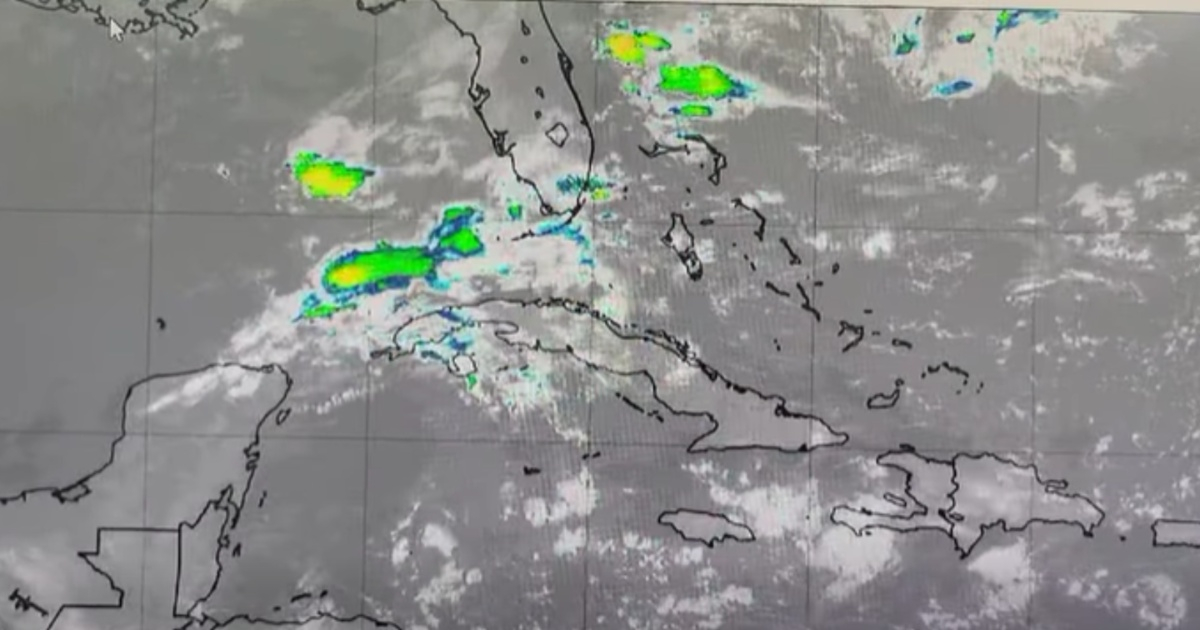
The alert was issued by the Forecast Center in Special Notice No. 1, released at 1:00 p.m. on March 16.
According to the official report, the cold front is moving eastward across the Gulf of Mexico, and during the early hours of Tuesday the 17th, its southern portion will be very close to or right over the northwestern coast of Cuba.
The forecast indicates that it will then weaken and remain nearly stationary over the Florida Straits and the northern coast of the Cuban archipelago in the following days.
According to the Institute, that configuration will promote a significant increase in humidity and atmospheric instability.
The report explains that this situation is compounded by a trough located between 10 and 12 kilometers in altitude, which will impose a very humid flow from the southwest, while at lower levels, winds from the northeast will prevail, bringing cloud cover from the sea towards the national territory.
The combination of these factors will increase the likelihood of precipitation in the western and central regions of Cuba.
Rain and thunderstorms threaten Cuba
The notice specifies that, under these weather conditions, cloud cover will increase and numerous showers, rainfall, and thunderstorms are expected from this Tuesday, the 17th, until Thursday, the 19th.
It also emphasizes that the rains could be "heavy and intense" in some areas of the west and center, with a greater impact towards the northern coastal regions.
In addition to the rainfall, the Institute warned about the deterioration of other variables associated with the storms.
In areas where showers and thunderstorms occur, wind strength will increase and wave heights will rise, indicating potentially adverse conditions in maritime and coastal areas as well.
The Forecast Center did not provide estimated rainfall totals in this notice, nor did it issue a list of specific provinces beyond the western and central regions.
It also did not provide information on specific civil protection measures, although it left open the possibility of new updates by indicating that a forthcoming Special Notice would be issued “if necessary.”
Filed under: