
Related videos:
The National Weather Service (NWS) is maintaining a flood watch for South Florida on Wednesday, in effect until 10:00 PM, as new rain showers and storms are expected, which could bring accumulations of between two and four inches in Miami-Dade, Broward, and parts of Palm Beach.
The alert, issued at 1:15 am today, covers the eastern areas of Miami-Dade and Broward and includes cities such as Miami, Hialeah, Fort Lauderdale, Hollywood, and Miramar.
The meteorologist Dainet Sierra from Telemundo 51, warned that today's weather will be similar to Tuesday's: it will not rain constantly, but there will be periods of calm interspersed with heavy downpours and storms that could be locally severe.
The weather risk level for this Wednesday is two out of four, according to the regional climate monitoring services.
Maximum temperatures will be around 80 degrees this Wednesday and Thursday.
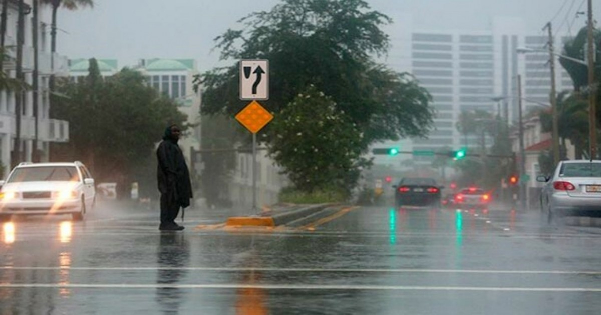
The stalled stationary front over southern Florida is the main factor behind the persistence of these conditions, which have already wreaked havoc and left about 200 homes without electricity in communities within the Miami metropolitan area. WSVN reported traffic jams and accidents due to wet roads and reduced visibility from the rain.
The already saturated ground from the rains amplifies the risk of flooding with any new episode of heavy precipitation, experts warned.
The front is expected to weaken and continue moving south, so it will be further away by the weekend. Consequently, the chances of rain will begin to decrease starting Friday.
However, there will still be strong winds, so those who are going to the beach this weekend should be aware that there is a risk of rip currents.
Waves of between seven and ten feet in height are expected along the southern coast of Florida. This adds to the small craft advisory, with northeast winds that had already been issued days earlier for the Miami coast.
Authorities recommend that the public take extra precautions, avoid areas prone to flooding, and stay informed through the official channels of the NWS for the rest of the day.
Filed under: